Along the Air Line... 2023 - Fall, Part 16 The Air Line Trail in Eastern Connecticut - Stan Malcolm Photos |
HOME: Air Line... 2023 Pages Menu Stan's FlickR Albums |
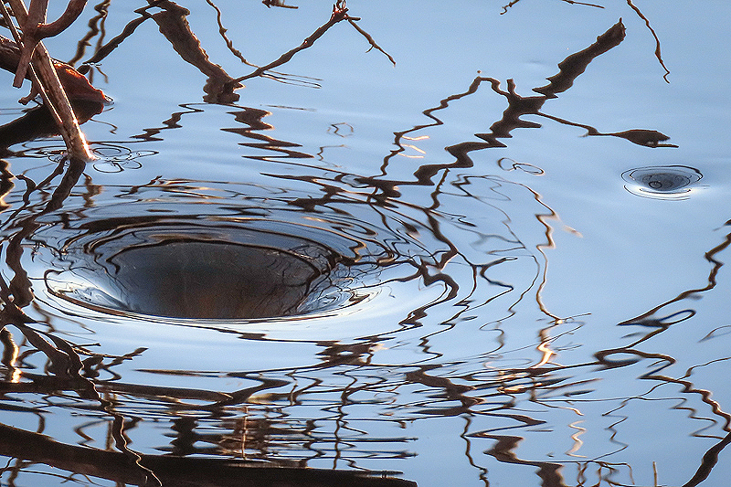
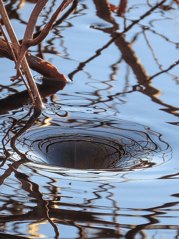
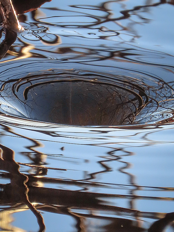
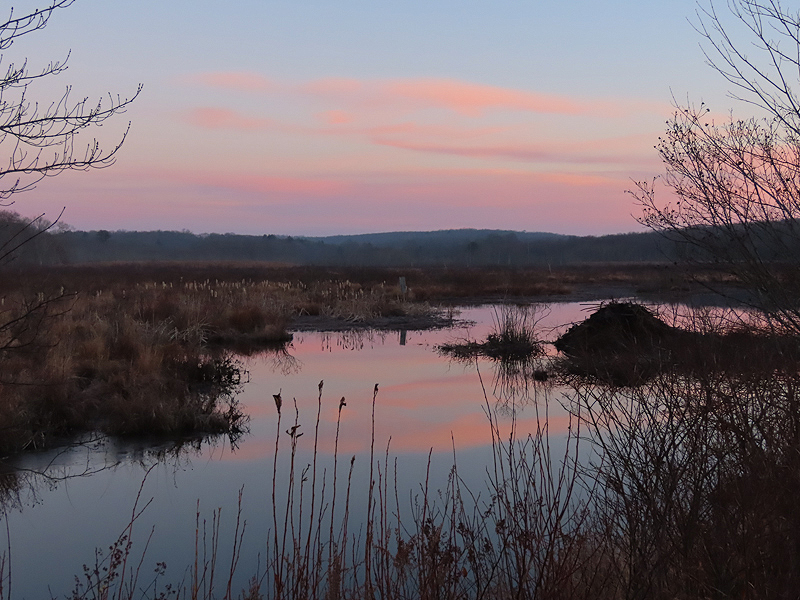
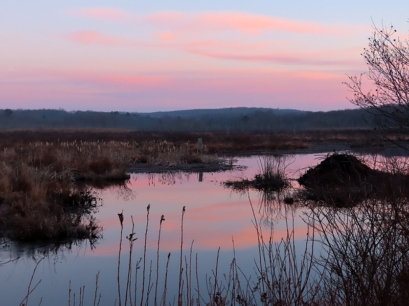
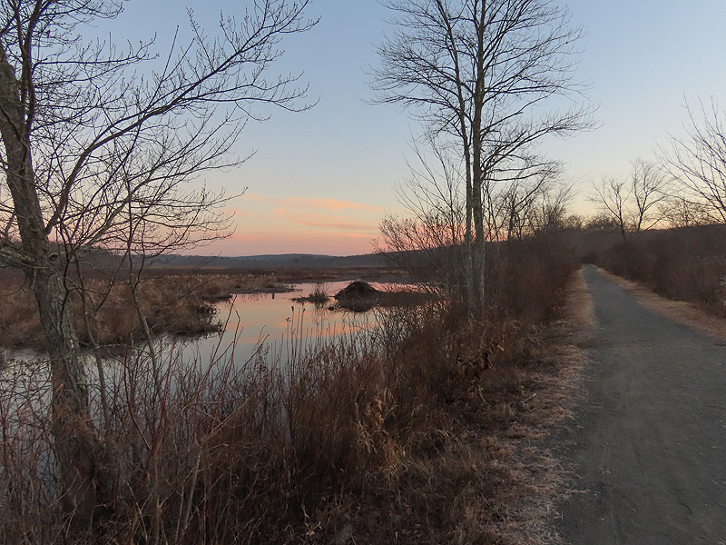
December 14th. It's been years since I've seen a whirlpool at this spot on the southwest side of Raymond Brook Marsh. |
|
|
|
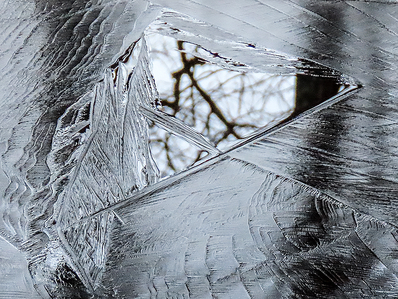
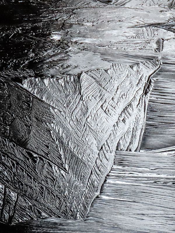
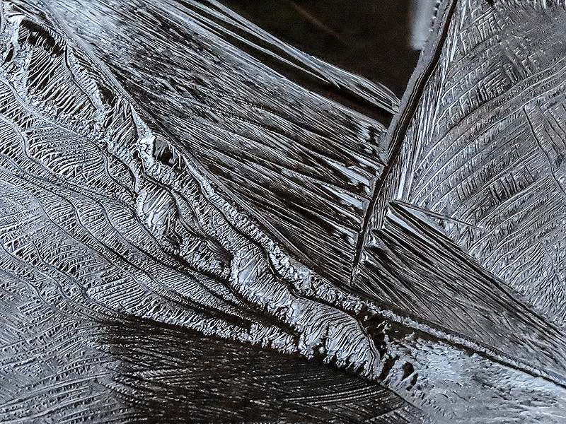
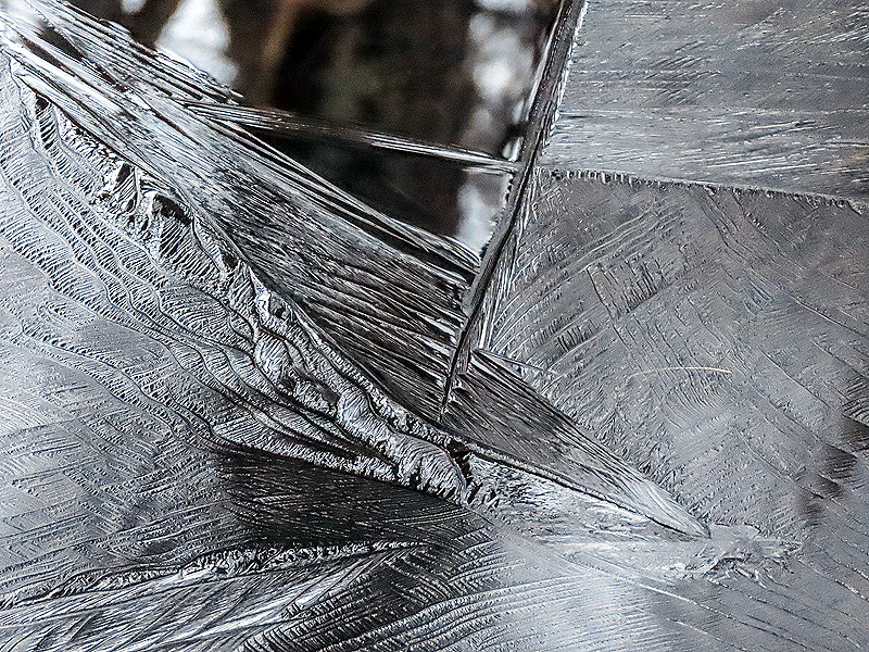
Fresh ice at 27 degrees. |
|
|

|
|
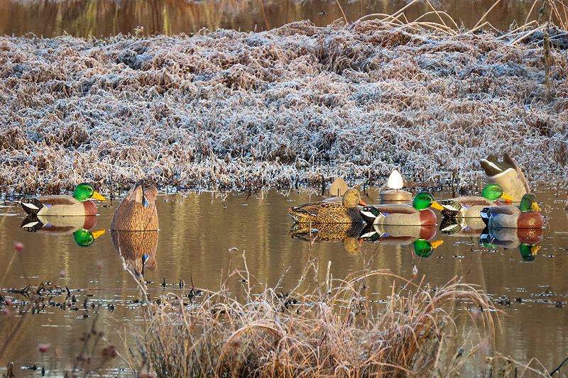
December 15th. Decoys out across from the bench at Raymond Brook Marsh. Last week's duck hunters were back today. Two adults and a young child, who I was told was wearing hearing protection. A good thing as when I approached on my return walk I heard roughly a dozen shots fired in rapid succession. No sign that any ducks were hit. While the hunters were doing everything legally, their proximity to trail users amplifies the incompatability of the "Wildlife Management Area" to the multi-use Air Line Trail Linear State Park designated for walkers, runners dog walkers, bikers, horseback riders, skiers, and other non-motorized park visitors. I made this case to DEEP years ago after shots were fired within 20 feet of me by a hunter who was completely hidden on the trail embankment - at a time of day when it was common to see women with children in strollers passing by. It's my opinion that hunting at Raymond Brook Marsh should be forbidden in favor of the far more frequent recreational trail users. |
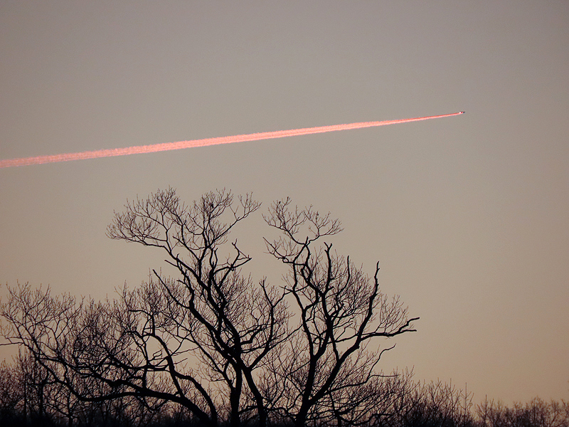
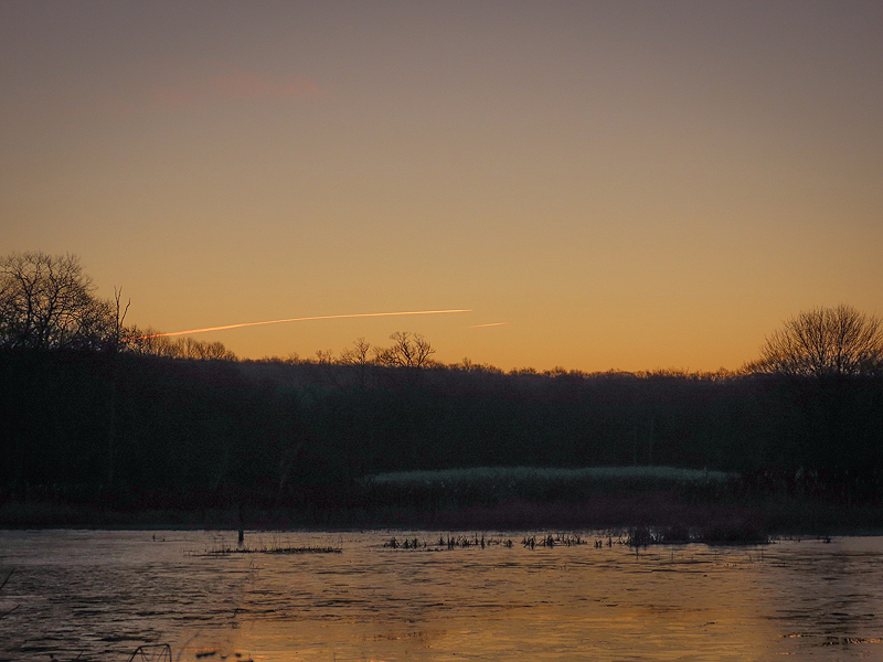
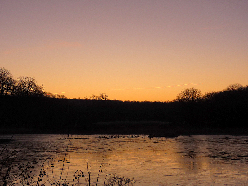
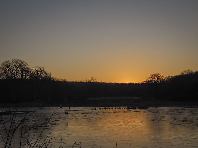
December 16th. Out early, hoping for a colorful sunrise. Saw some contrails trending northeast to southwest. Many planes seem to follow this path early in the morning. I wonder where they're coming from and going to. |
|
Contrails of two aircraft flying parallel, but quite far apart and at different altitudes. |
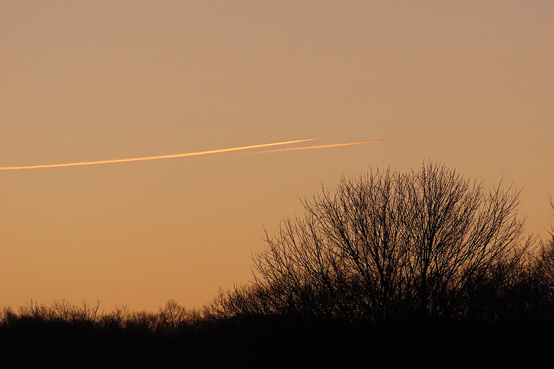
Hard to see but three contrails in this photo. |
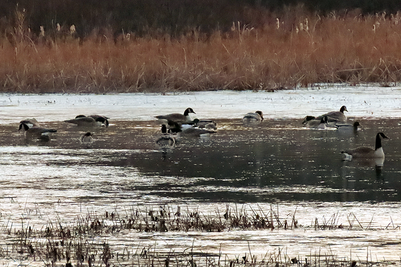
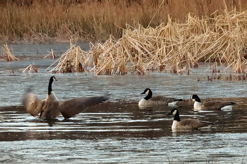
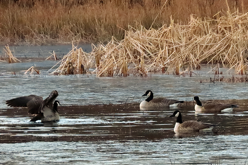
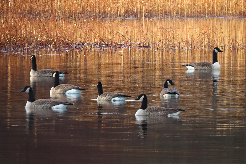
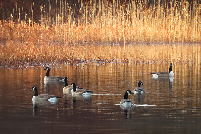
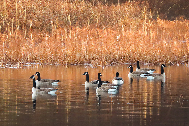
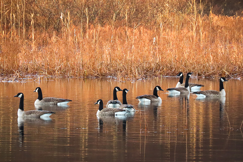
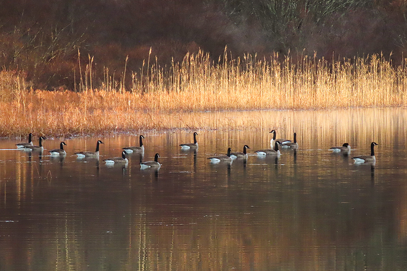
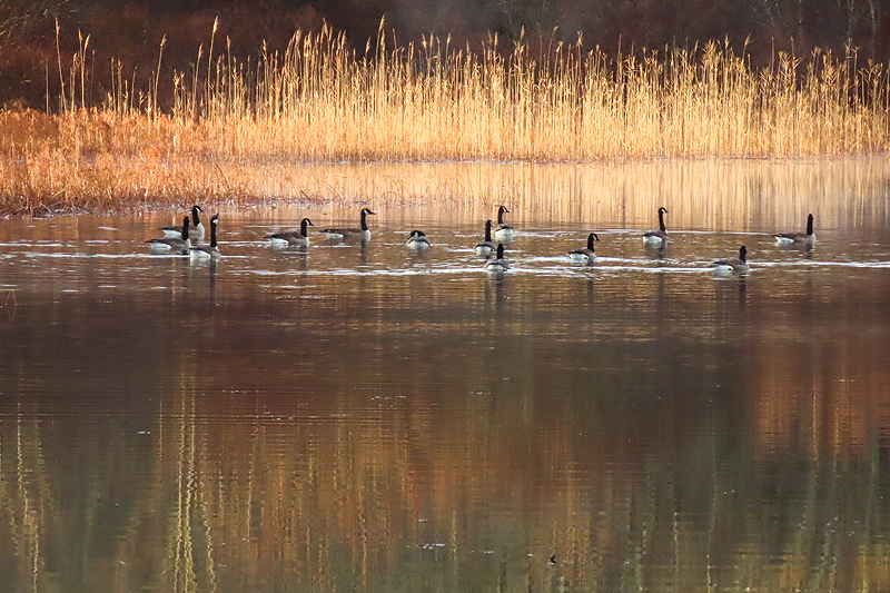
Figured I wouldn't get much more of a sunrise so took some pics of overnight visiting Canada Geese (Branta canadensis) and ducks. |
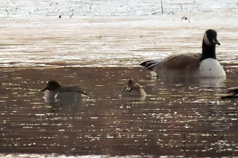
Simply awful low light close up. The ducks seem to be Green-winged Teal (Anas crecca carolinensis). Thanks to Russ Smiley for the ID. |
I happened to glance to my left and realized that there was some color in the clouds towards the northwest. Hustled up the trail to get some pictures. |
|
Color didn't last long so I hustled back to where I knew the sun would appear... |
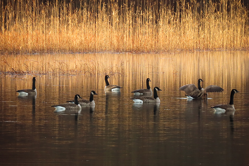
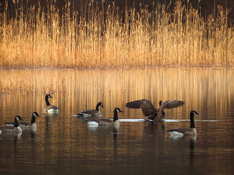
...stopping for some goose pictures along the way. |
|
I was hoping the geese would fly by me at this point, but they went to my left - except for a couple of ducks barely visible in this photo. |
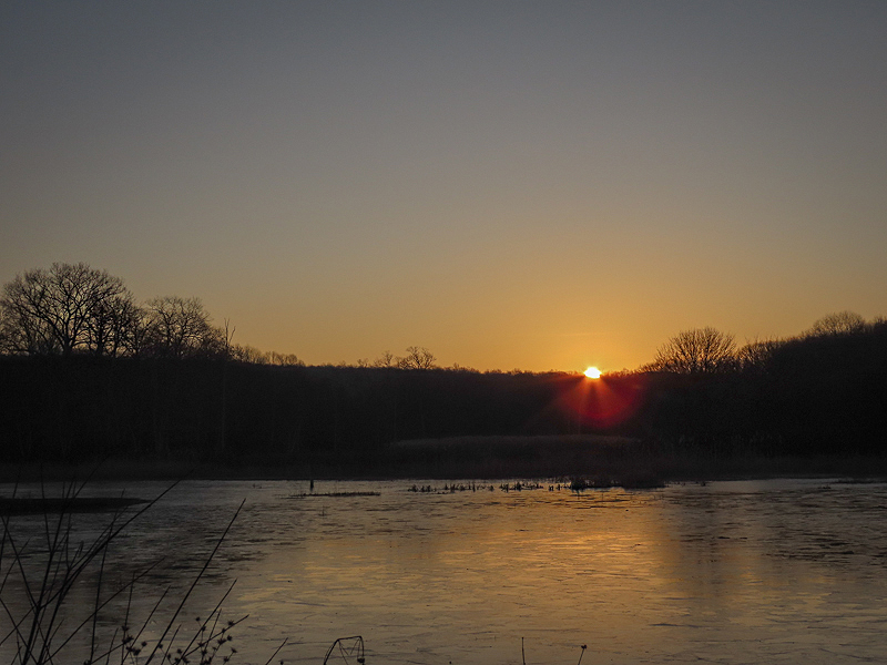
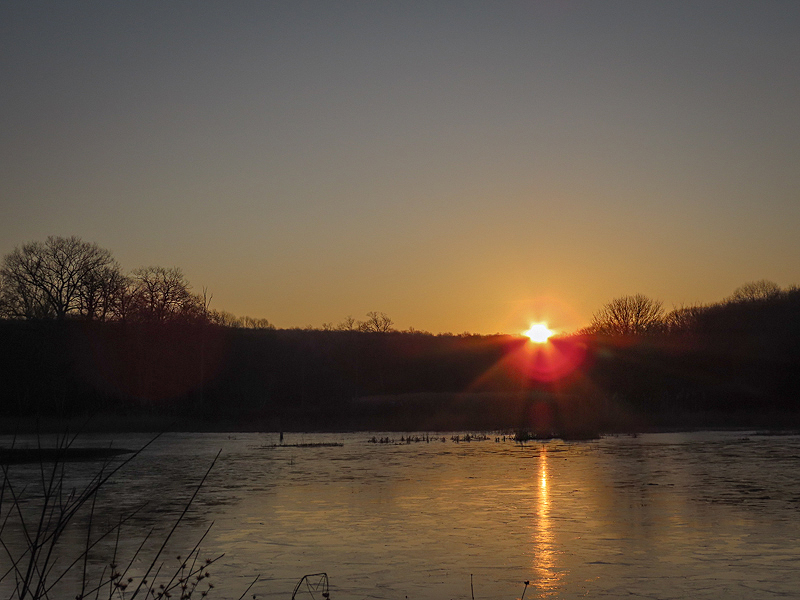
Still no clouds, but finally the sun rose. It only took a minute or so... |

...to clear the horizon. |
|
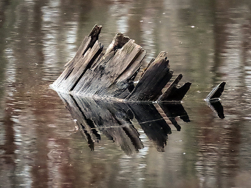
December 17th. The decaying stump I use to measure water depth at the marsh. Today it was nearly "normal". With our heavy rain recently it was underwater, and probably will be again tomorrow according to the weather forecast of more heavy rain. |
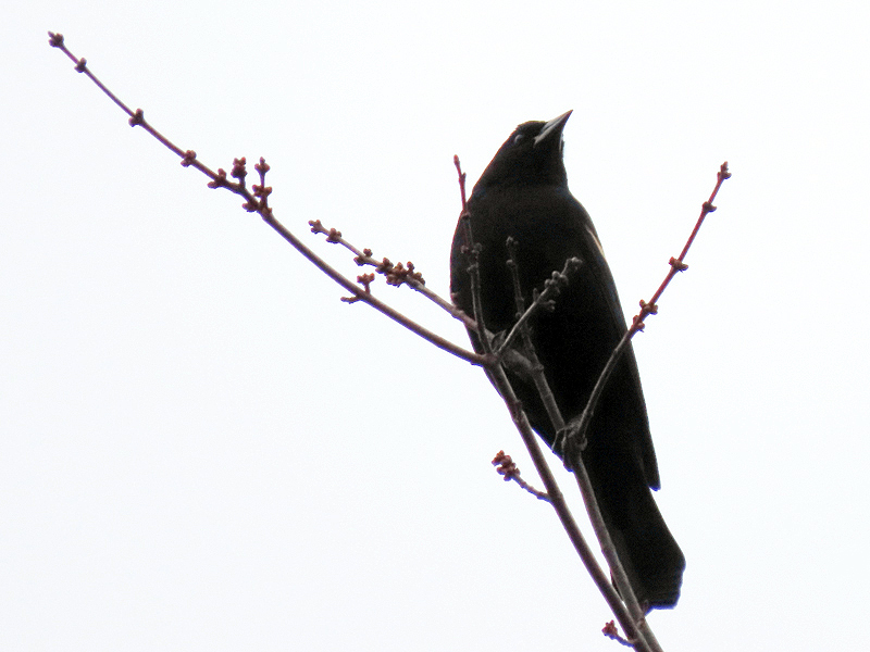
From a distance I thought this was a Common Grackle but when cropped for screen display the bird seems to be showing the epaulettes of a Red-winged Blackbird (Agelaius phoeniceus). Um, it's mid-December; what are you doing here? |
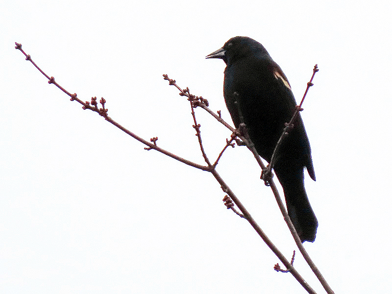
Granted, this has been an abnormally warm Fall, portent of our changing weather patters as the earth warms. |
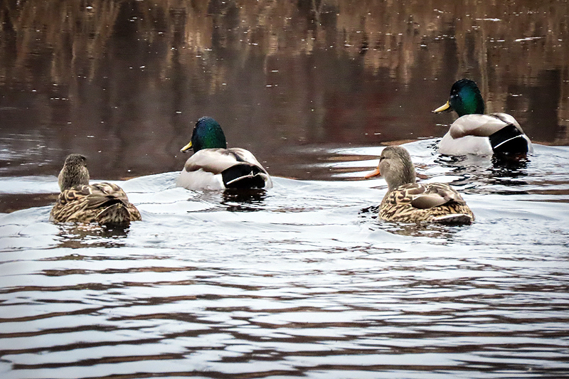
A female Mallard (Anas platyrhynchos), one of... |
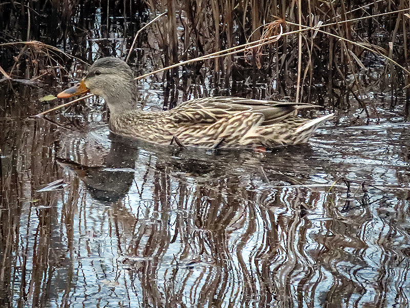
...four Mallards cruising the southeast side of the marsh. |
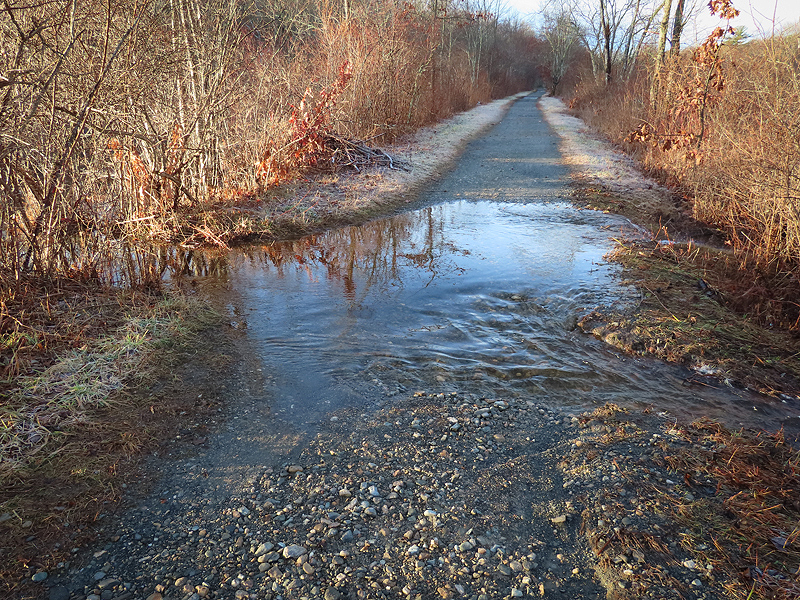
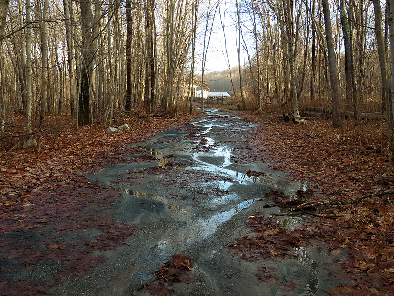
December 19th. The trail after yesterday's heavy rain and high winds, a replay of the severe storm a week or so ago. |
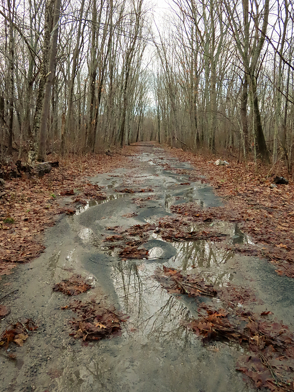
|
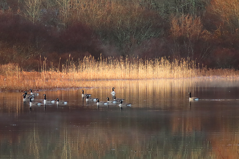
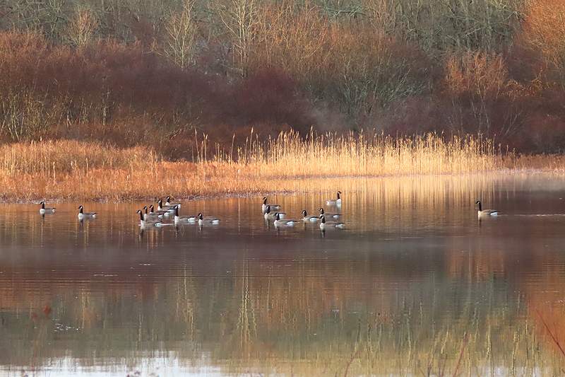
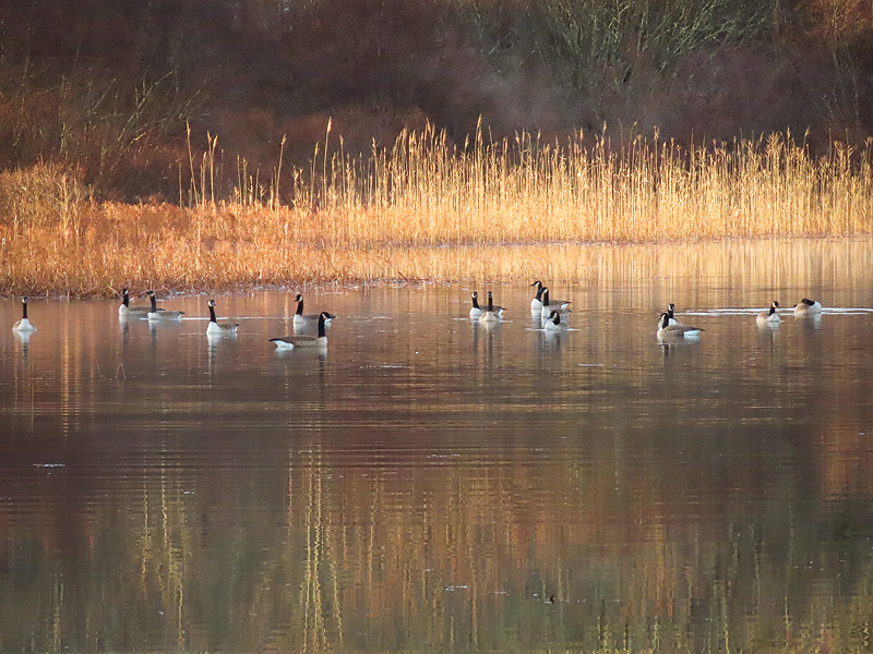
Canada Geese (Branta canadensis) in warm sunny light. |
|
|
|
|
|
|
|
|
|
|

|
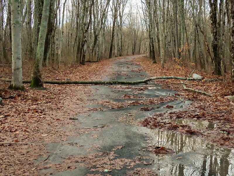
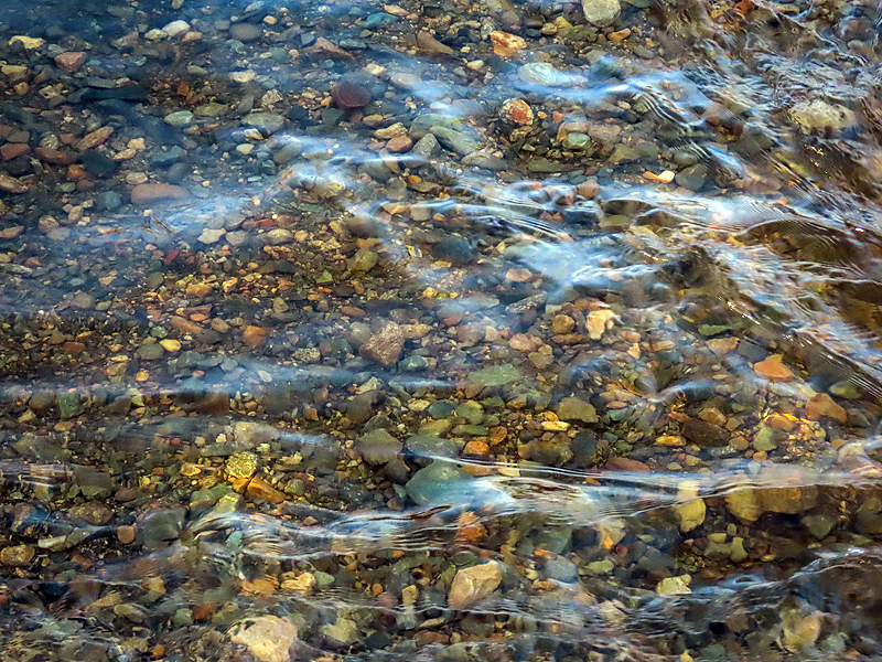
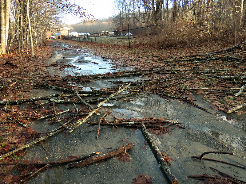
Water a few inches deep flowing across the trail. |
|
A good spot to turn around today. |
|
|
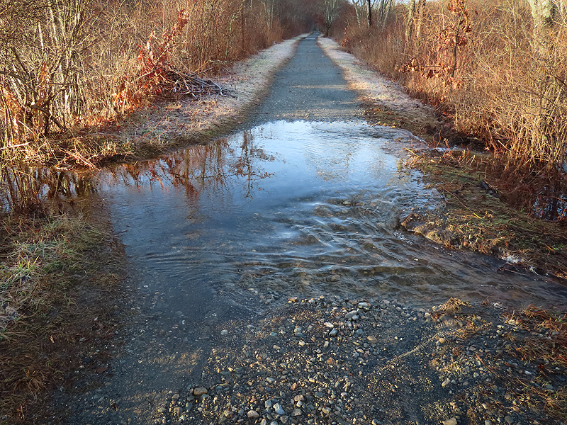
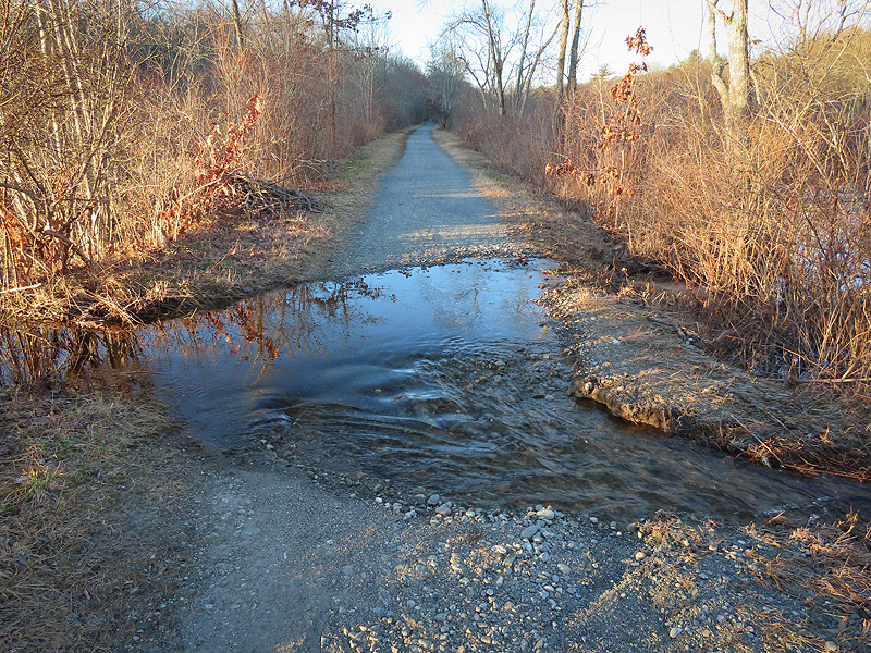
December 20th. Still lots of water crossing the trail, cutting a channel. |
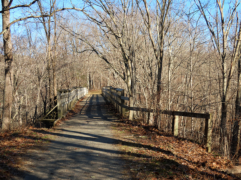
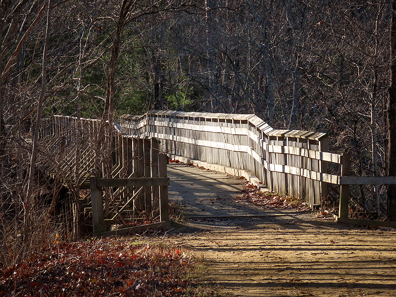
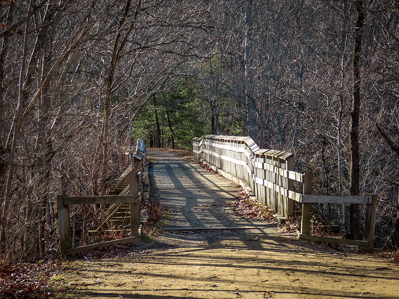
December 21st. Just a few hours left in Fall; Winter starts at 10:27 PM. The Blackledge River Bridge. |
|
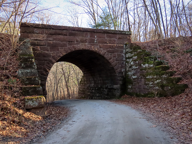
|
The Brownstone Bridge over River Road. |