Along the Air Line... 2021-2022 - Winter, Part 2 The Air Line Trail in Eastern Connecticut - Stan Malcolm Photos |
HOME: Air Line... 2022 Pages Menu Stan's FlickR Albums |
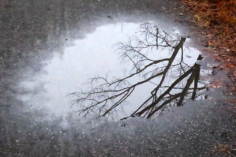
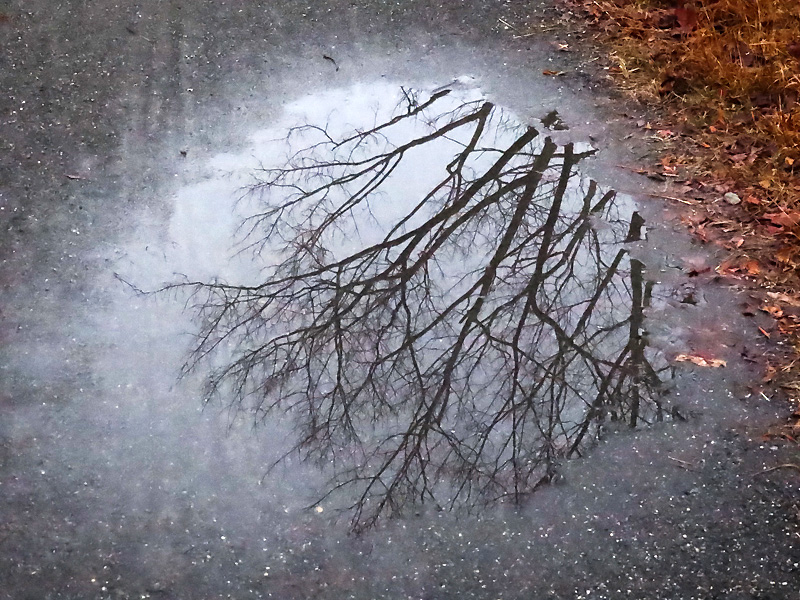
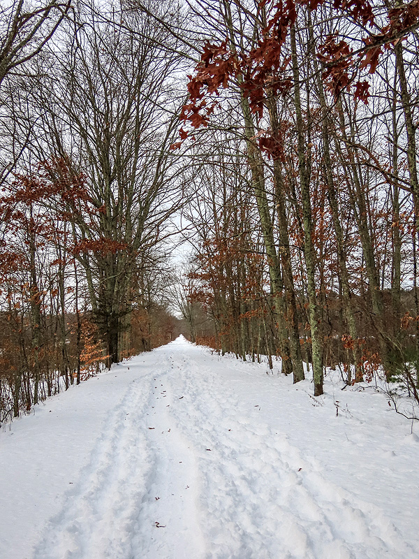
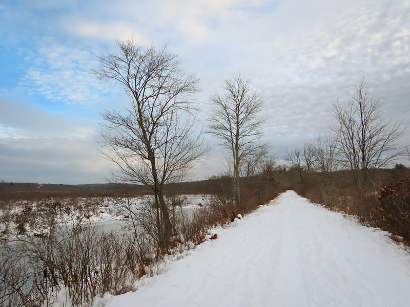
January 2nd. Foggy and 47 degrees. |
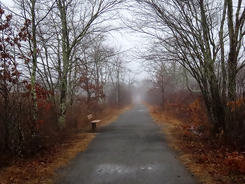
Stretching it, looking for photo subjects. |
|
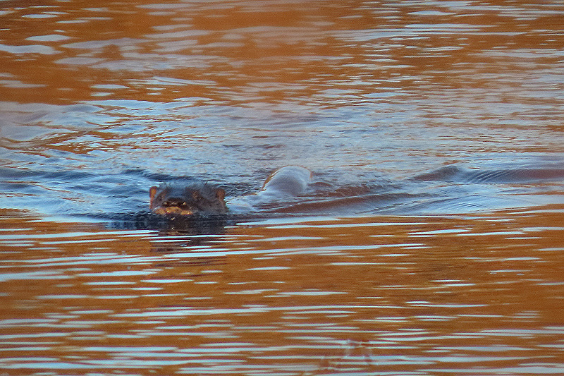
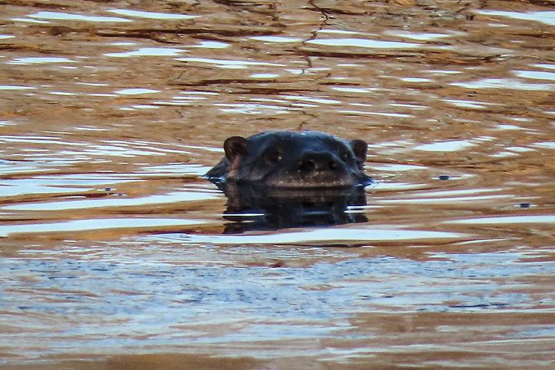
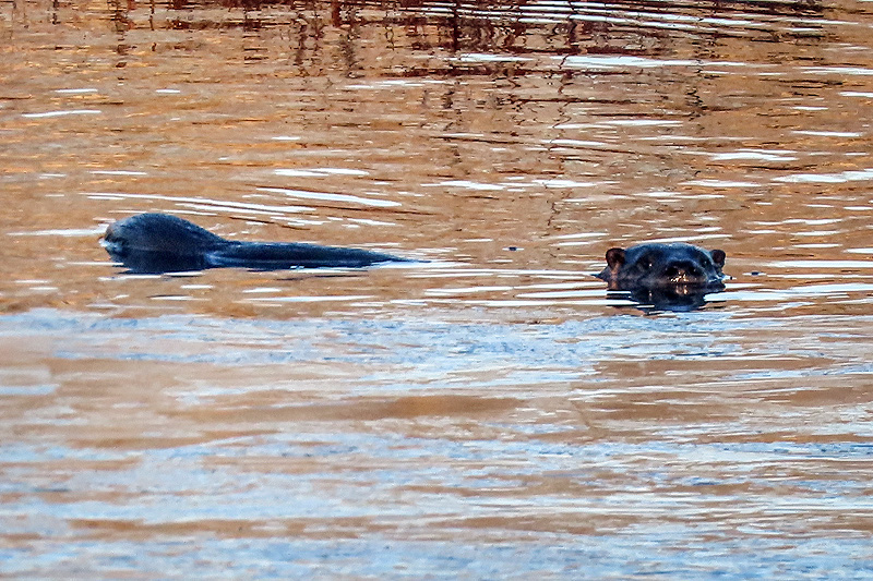
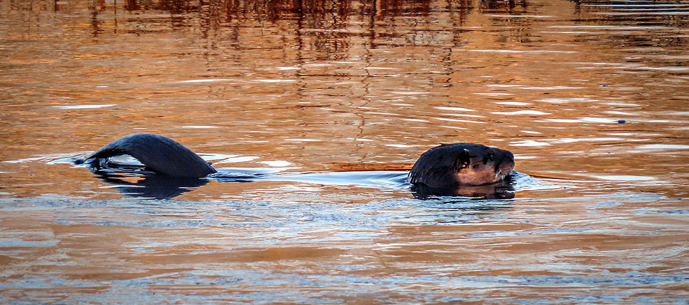
January 4th. Northern River Otter (Lutra canadensis). From a distance, I thought it was a log at first... |
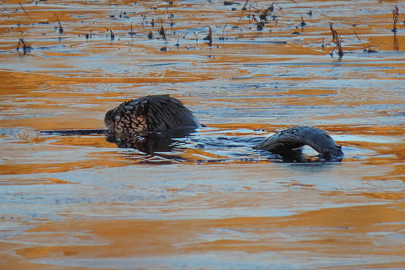
..but then it moved. |
|
|
|
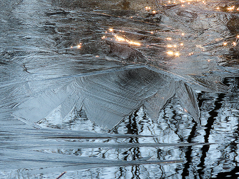
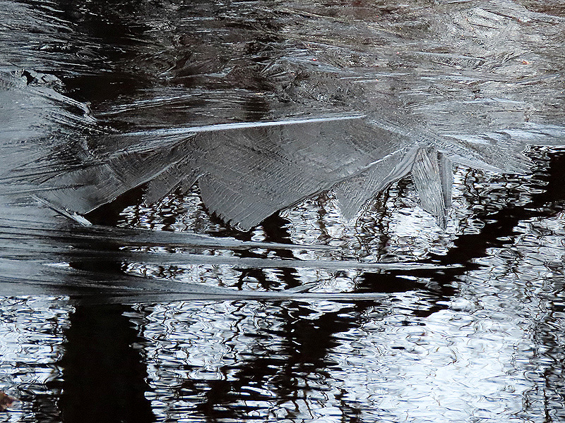
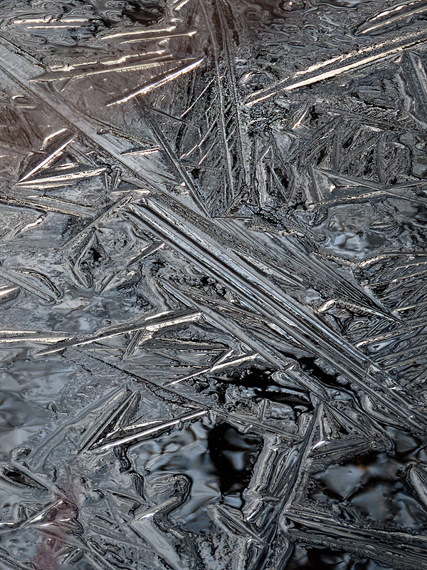
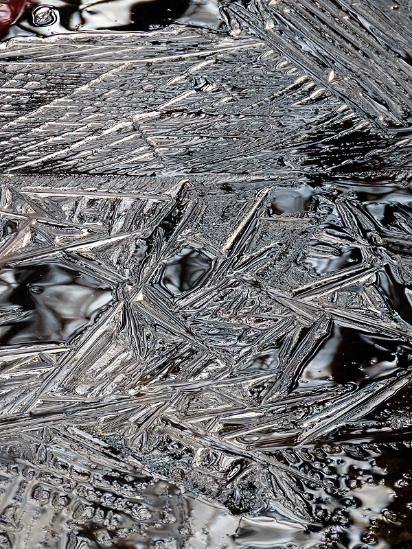
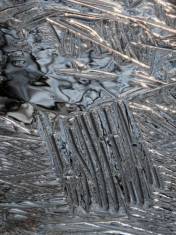
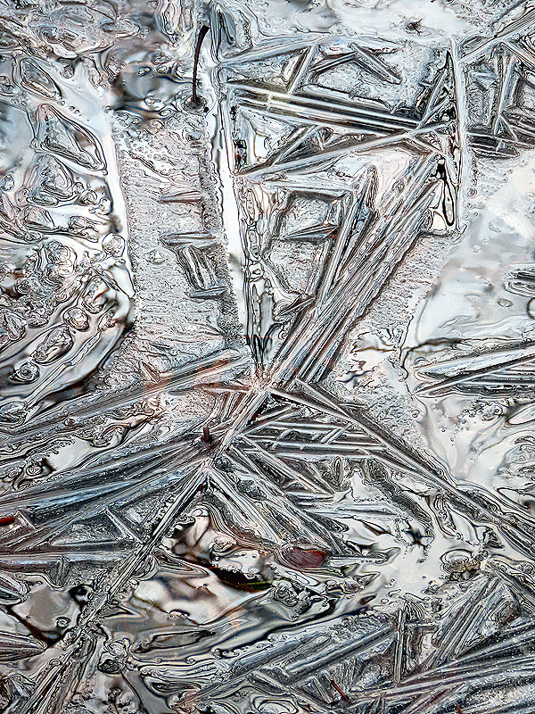
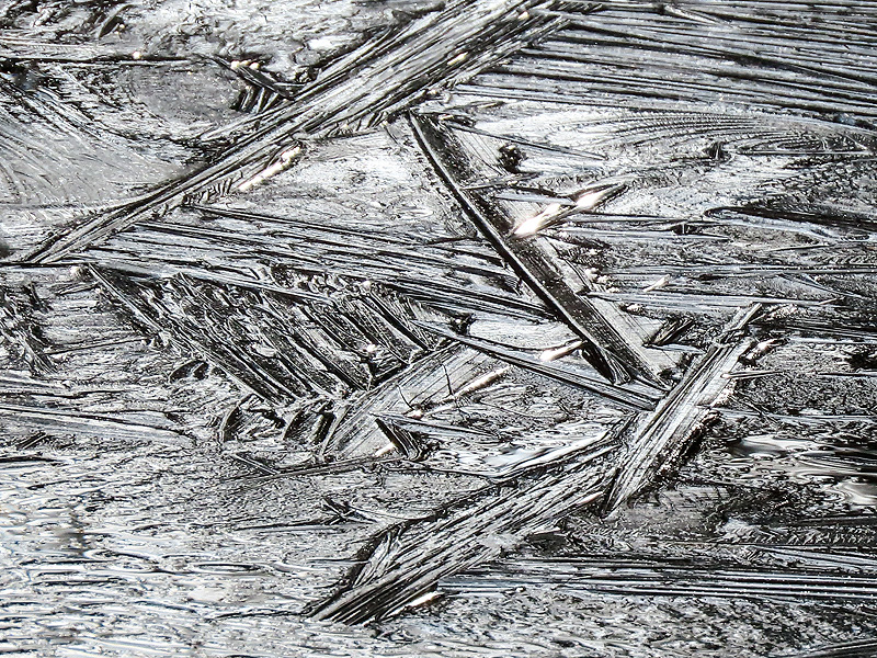
After yesterday's big thaw, fresh ice this morning at 12 degrees. |
|
|

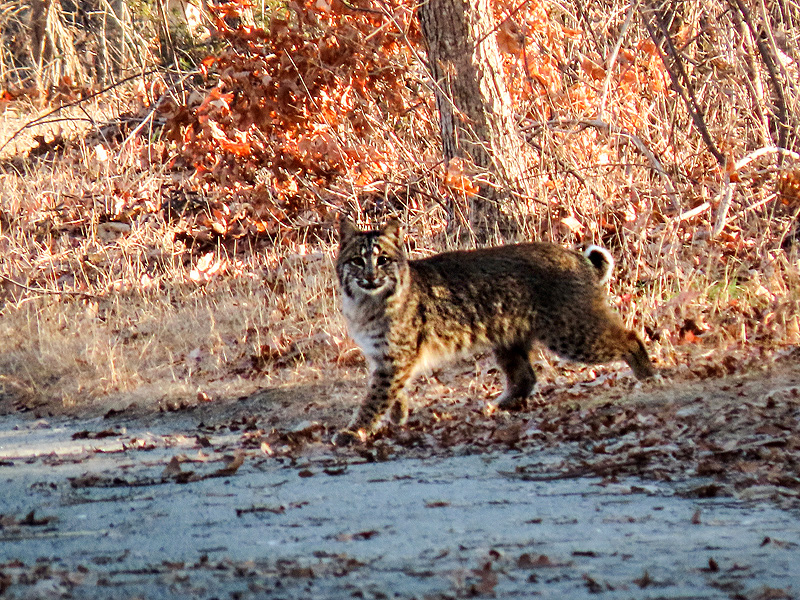
Hmm, what's that animal in the distance? Roughly 200 feet away, near the spur junction. |
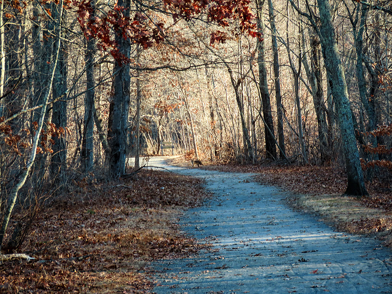
Bobcat (Lynx rufus)! My first sighting on the trail, though I've heard of a bobcat seen on the spur recently. This may be it. |
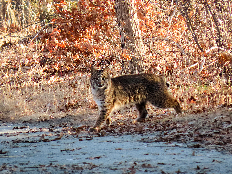
It froze, watching me. |
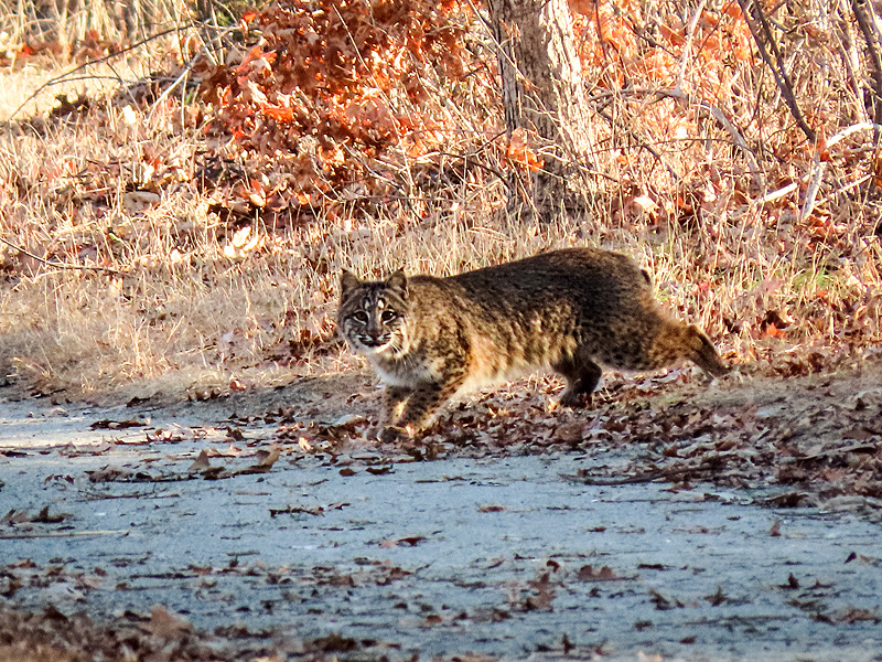
Hunkered down... |
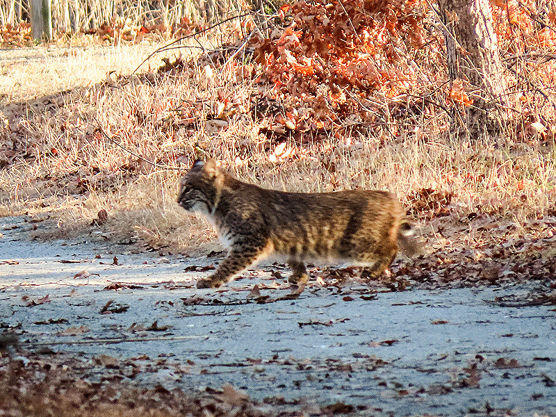
...then scurried across the trail. |
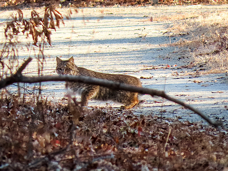
One last look before heading off into the woods. |
January 6th. Thin ice. |

|
|
|
|
|
|

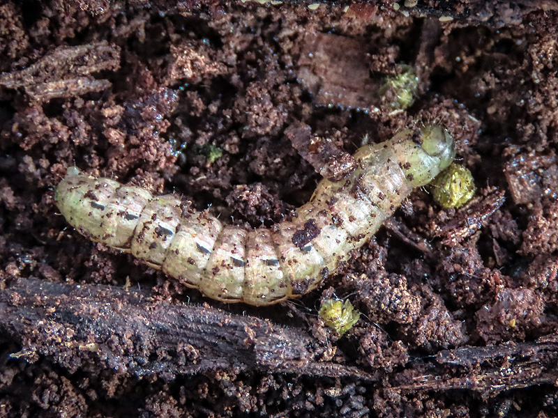
Under bark, an overwintering caterpillar of the Large Yellow Underwing (Noctua pronuba) |
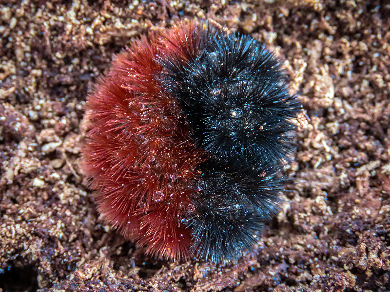
Also overwintering under bark, a Woolly Bear (Pyrrharctia isabella), caterpillar of the Isabella Tiger Moth. |
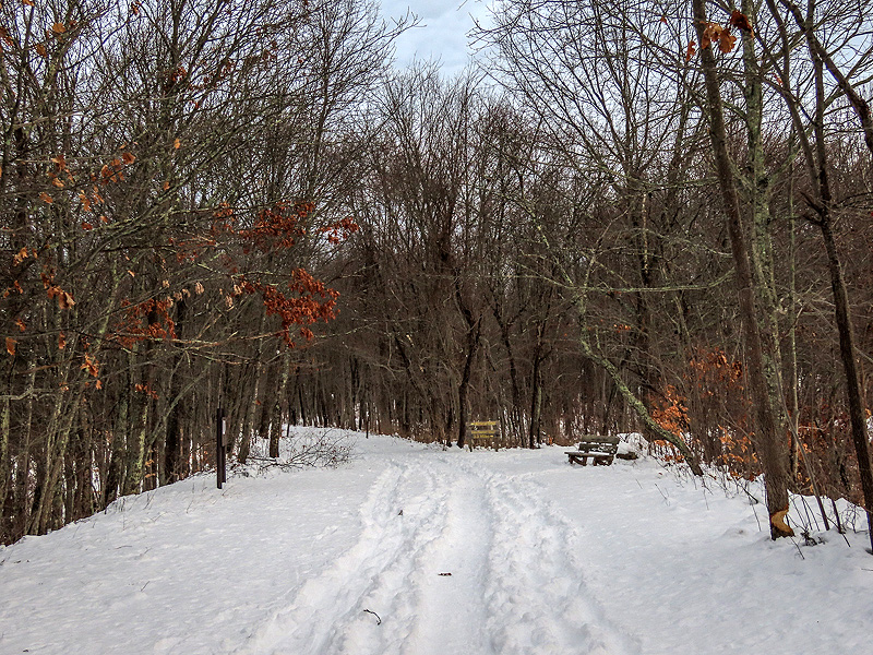
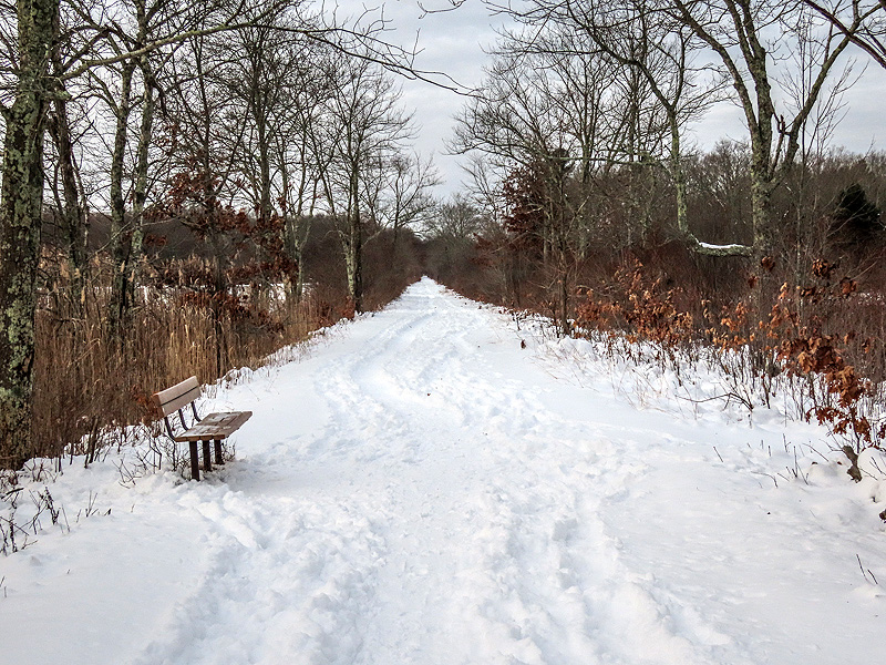
January 9th. Back on the trail after a foot of snow fell on January 7th. |
|
|
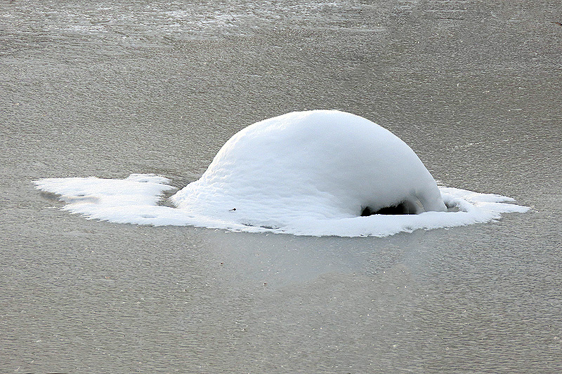
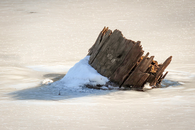
The stump I use to gauge water levels at the marsh. |
|
|

|

|
|
|
|
Last bit of blue sky before freezing rain and rain moved in. |
January 10th. Fifteen degrees. The trail icy in spots after yesterday's rain. Single digits predicted for tomorrow. |
January 12th. Temp was zero at my usual walk time so I waited until early afternoon when it was above freezing. Ice cleats still recommended. |
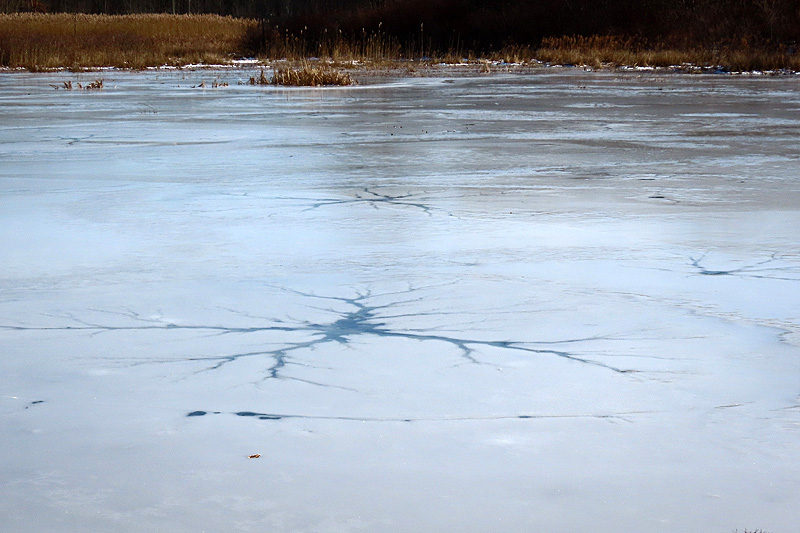
These branching fissures surrounded by a circular border crack are fascinating. Wonder what causes them. |
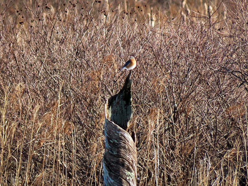
An Eastern Bluebird (Sialia sialis) about as far across the marsh as possible. Note the twisted outer layer of the long-dead tree. |
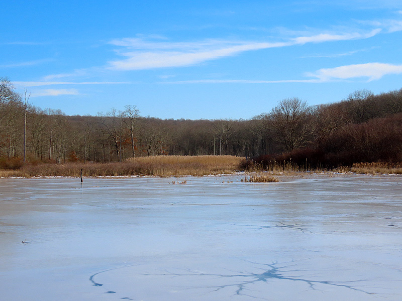
The stump I use to estimate water levels. About normal. At least the snow cap is gone. |
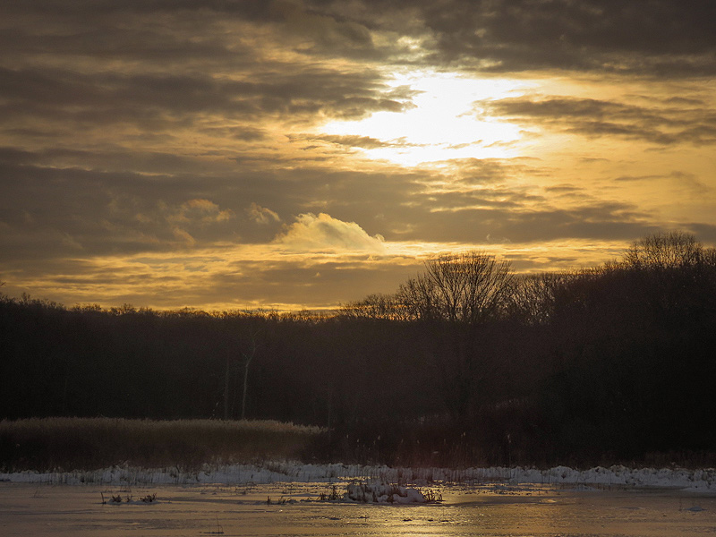
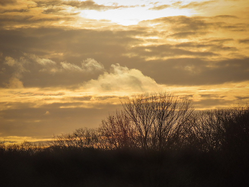
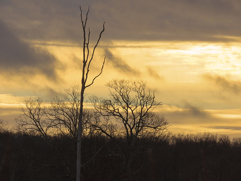
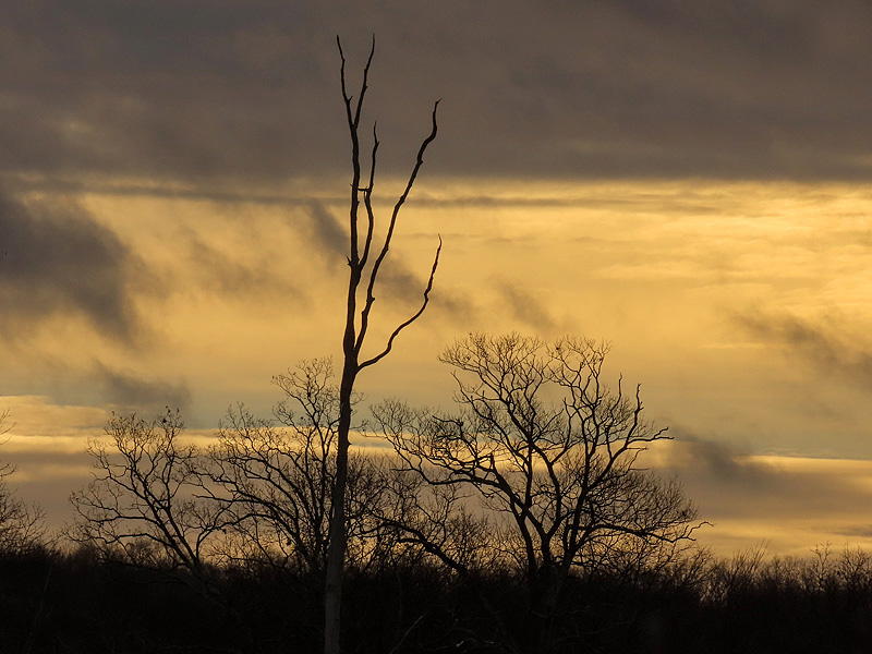
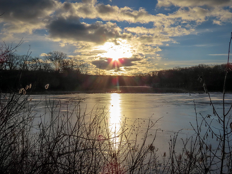
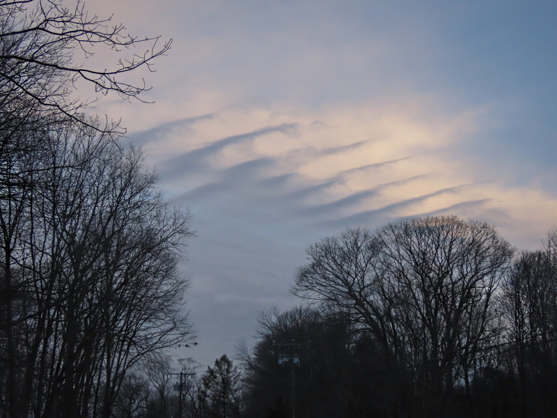
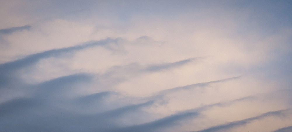
January 13th. Nifty clouds seen from the Route 85 trailhead. |
|
|
