Along the Air Line... 2020-2021 - Winter, Part 4 The Air Line Trail in Eastern Connecticut - Stan Malcolm Photos |
HOME: Air Line... 2021 Pages Menu Stan's FlickR Albums |
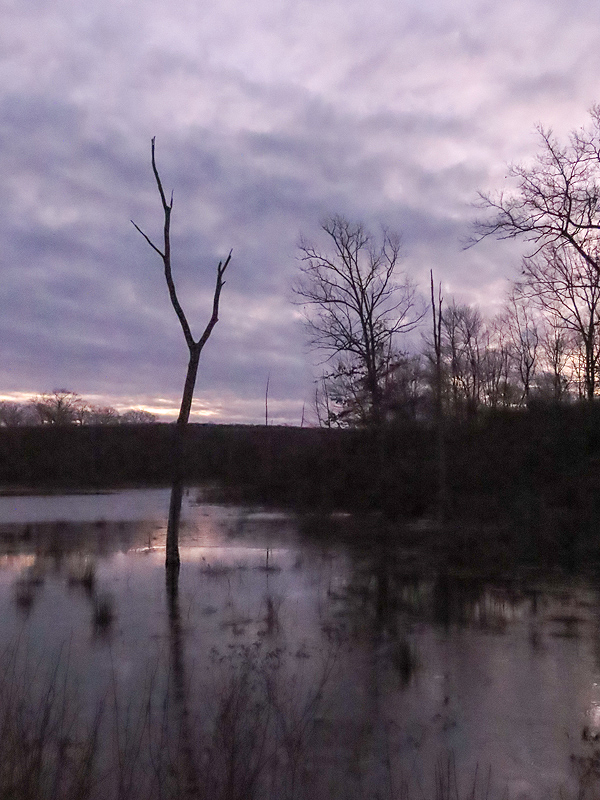
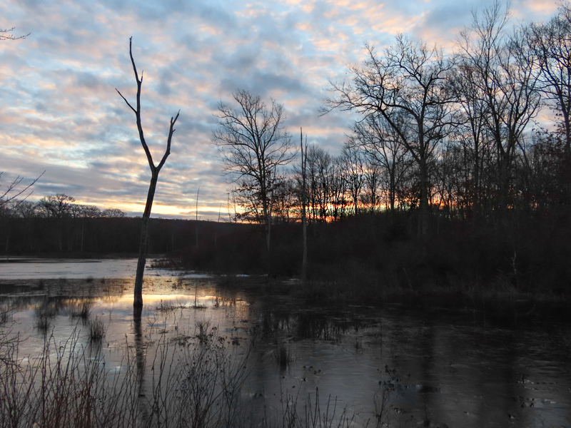
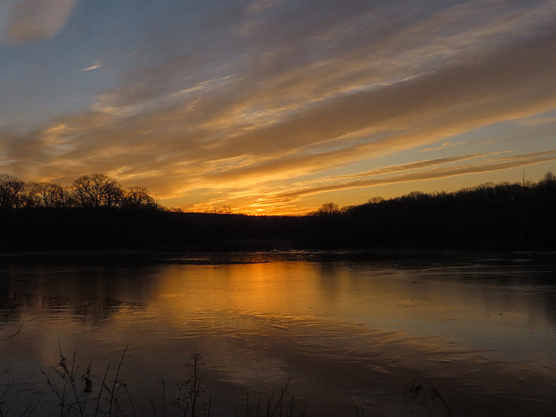
January 7th. Pre-dawn. Hoping for a sunrise. |
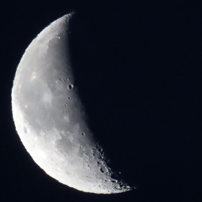
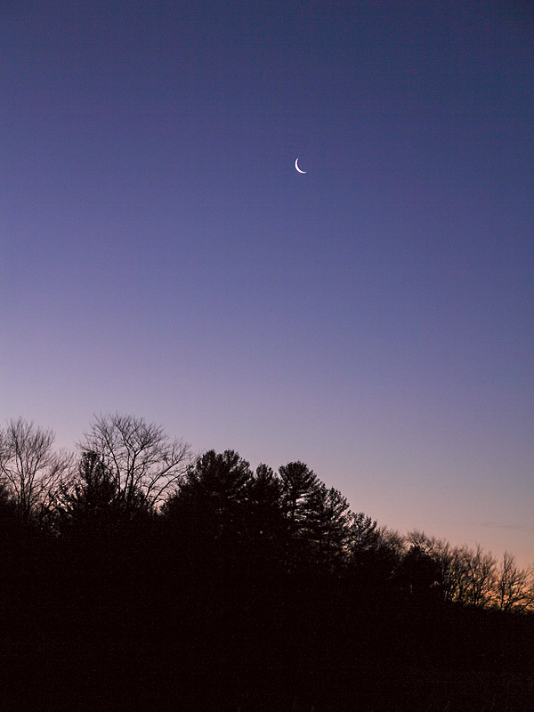
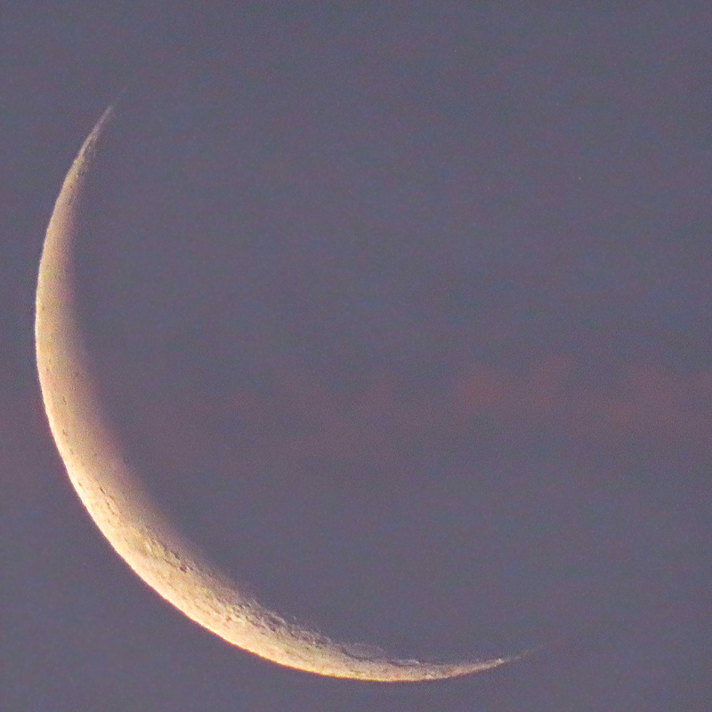
Crescent moon above. |

|
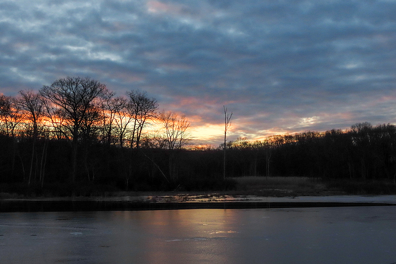
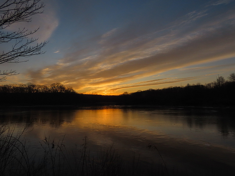
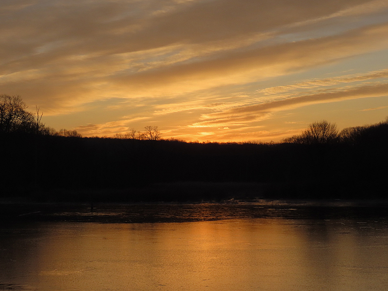
If only this had colored up. |
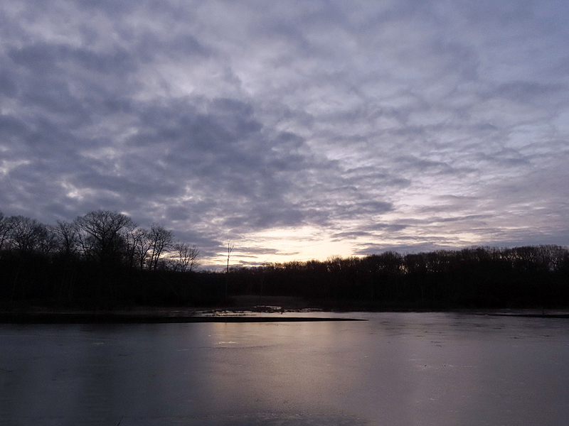
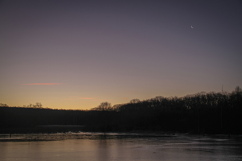
Just a little color at the horizon. |
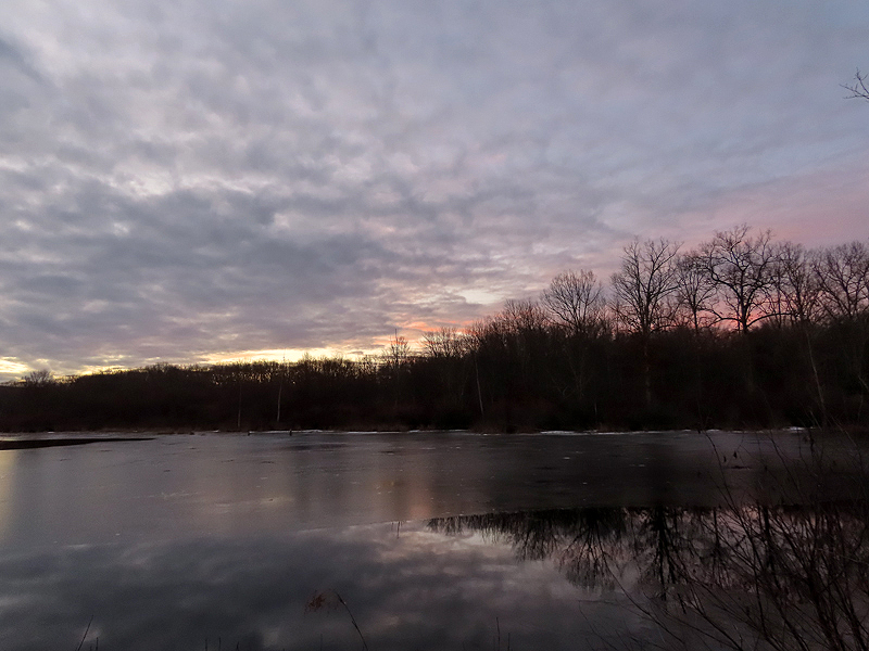
A bit more on the far side of the trail. |
|
|
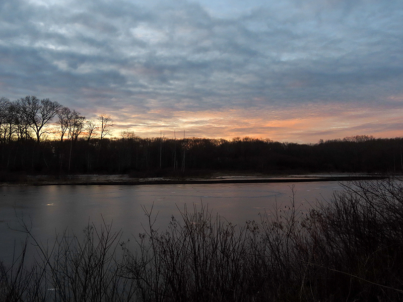
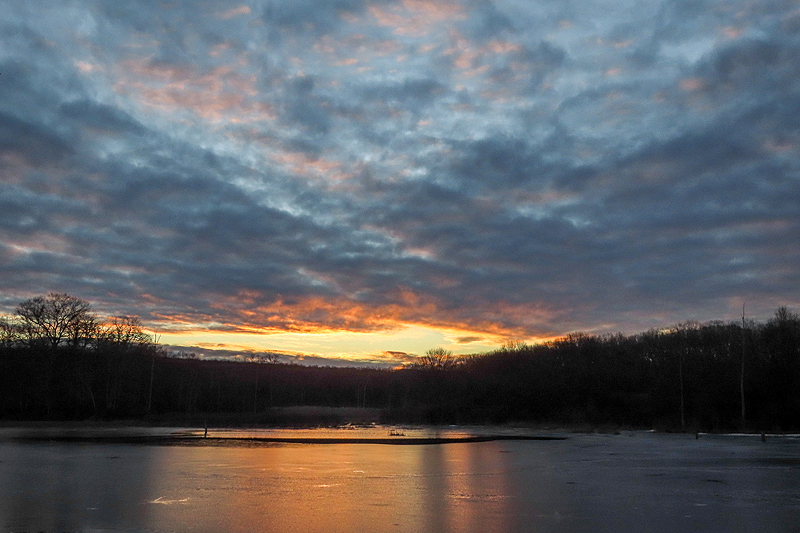
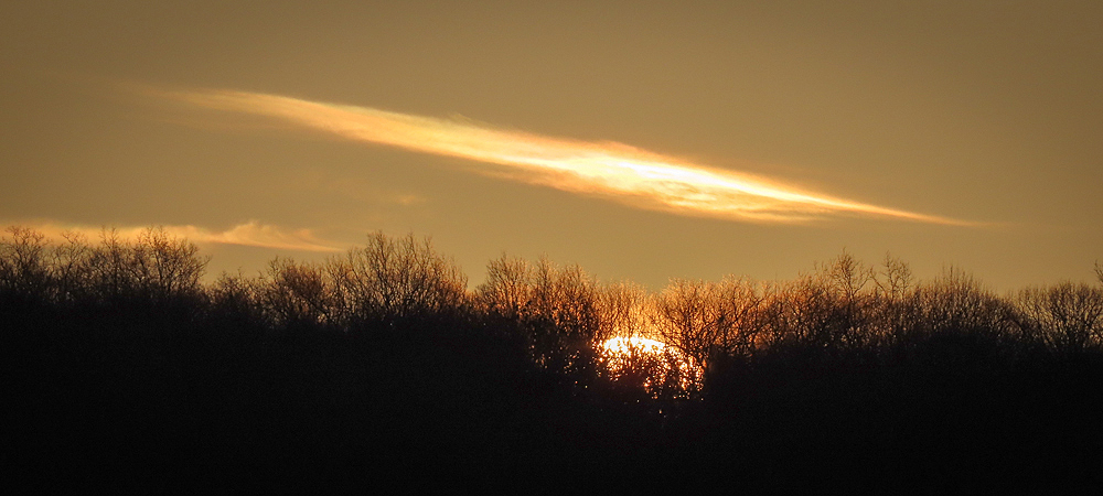
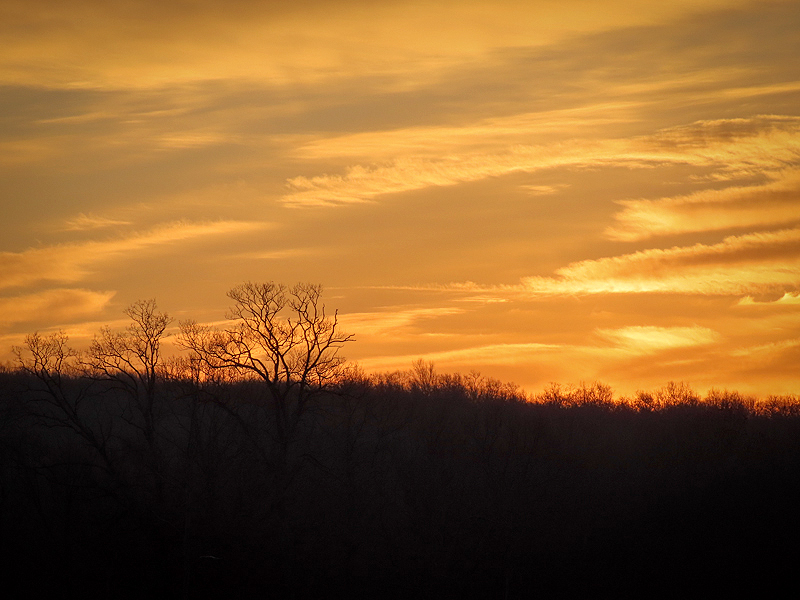
The sunrise never did do much more, except right at the horizon. |
|
|
|
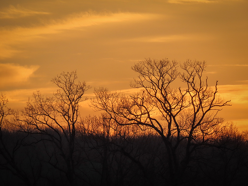
Just about over. Never did develop much. |
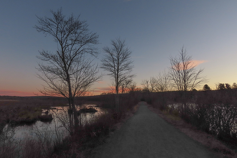
January 10th. Out well before dawn again, hoping for a nice sunrise. |
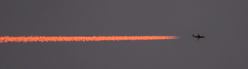
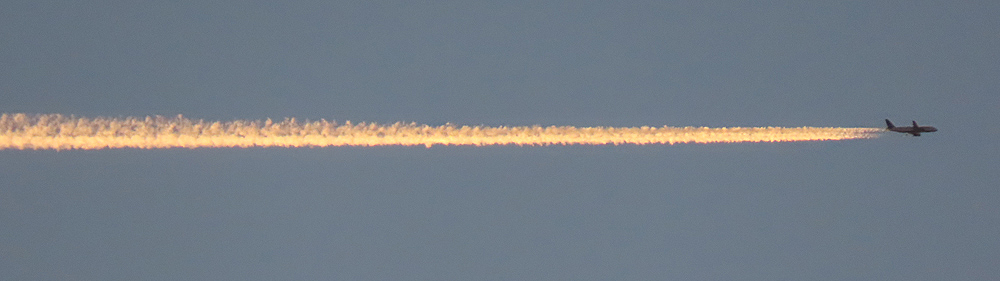
A couple of distant remnants of aircraft contrails were the only color near the horizon. |
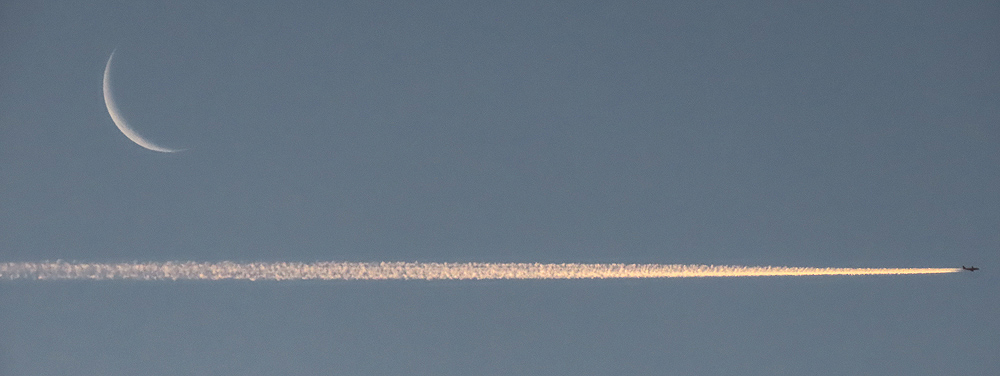
One faint contrail passed near the crescent moon. |

Barely visible, another passed right in front of it. |
Another old contrail. |
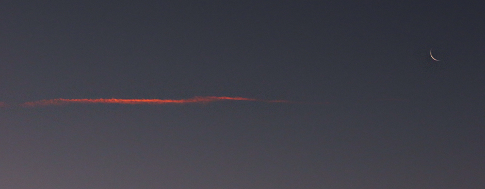
The planes all seem to travel the same path from NNE to SSW, roughly parallel to the trail at Raymond Brook Marsh. |
I'm guessing they come from Europe and/or Boston, and are bound for New York, Newark, or points further south along the Atlantic coast. |
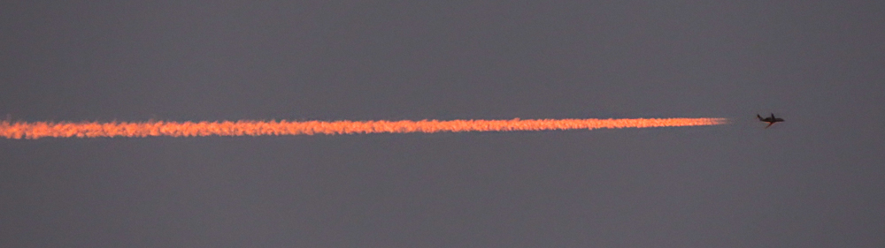
Closer to dawn, their contrails became lighter in color. |
|
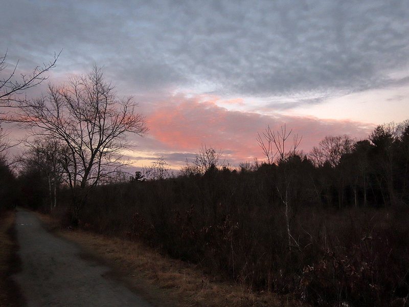
To the north at ground level, some pink color remained. |
Dawn was far from spectacular... |
...and I retreated to the relative warmth of my truck. |

January 12th. |
|
|
|
|
|
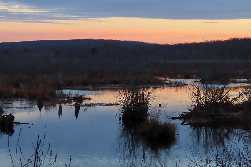
January 13th. East of Route 87 in Lebanon. |
|
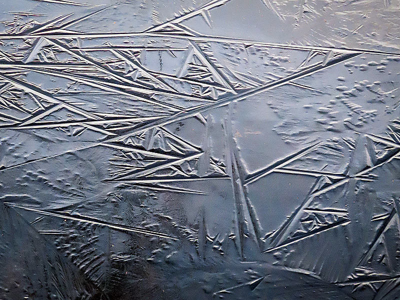
Optical illusion? |
|
|
|
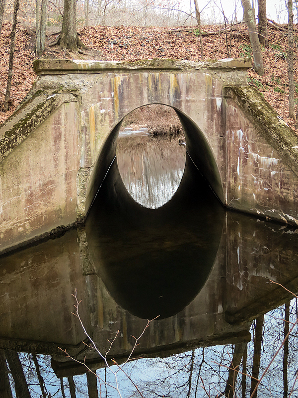
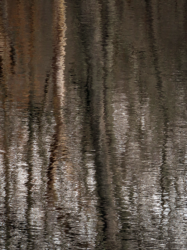
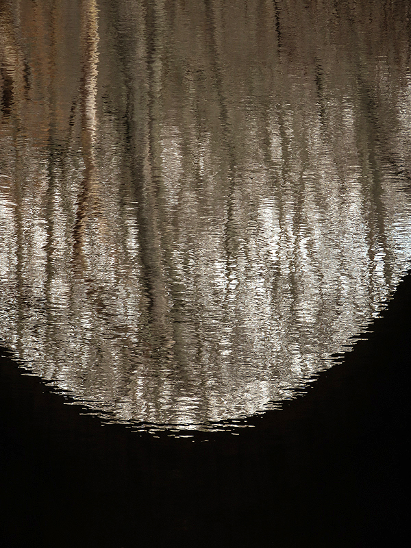
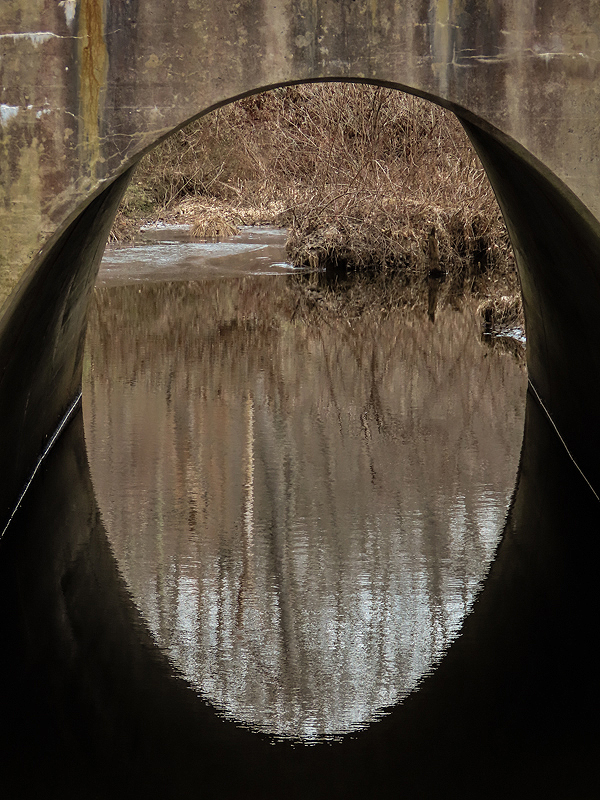
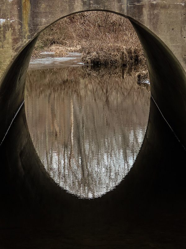
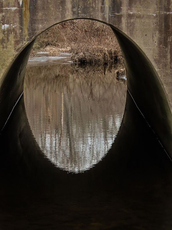
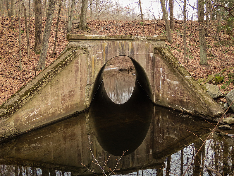
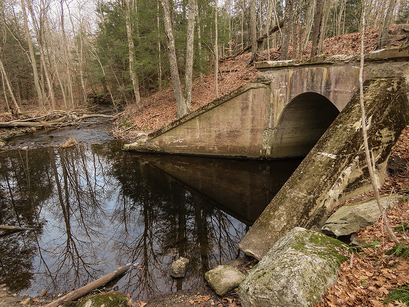
The Tenmile River crosses under the trail at this point. |
|
East of Cook Hill Road in Lebanon. |
|
|
|
|
|