Along the Air Line... 2021 - Summer, Part 15 The Air Line Trail in Eastern Connecticut - Stan Malcolm Photos |
HOME: Air Line... 2021 Pages Menu Stan's FlickR Albums |
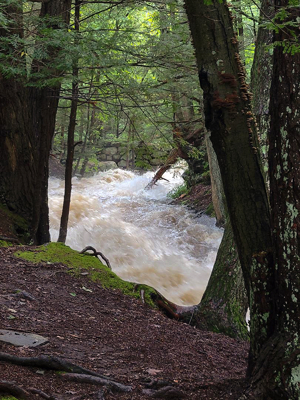
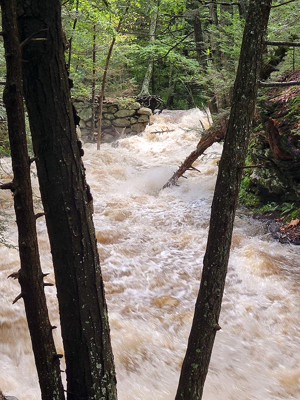
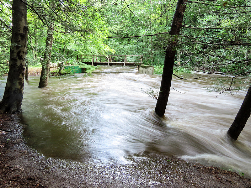
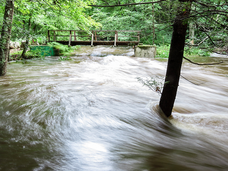
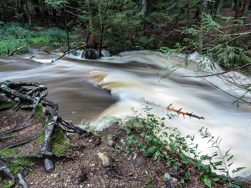
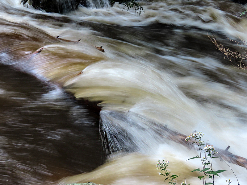
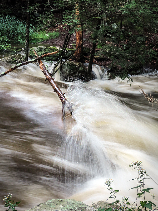
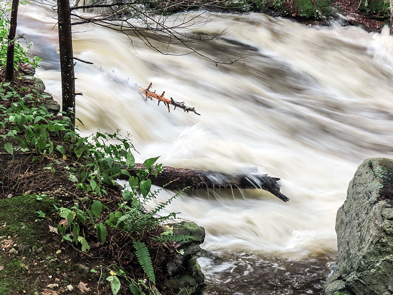
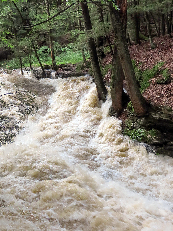
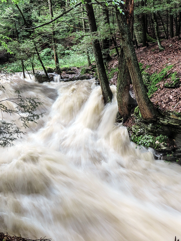
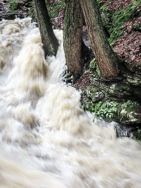
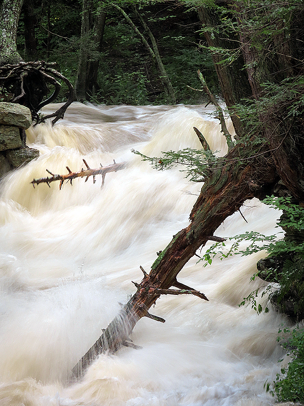
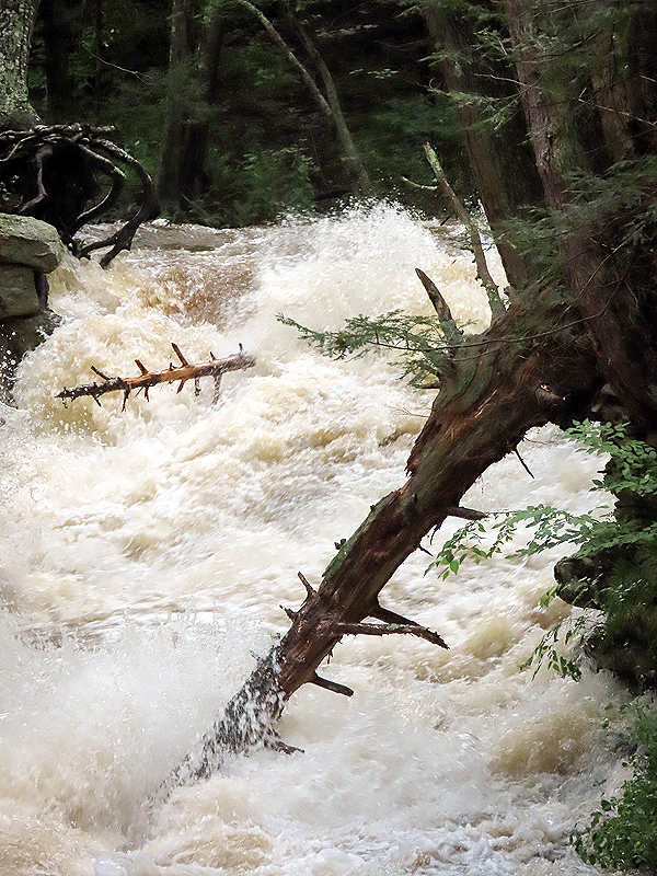
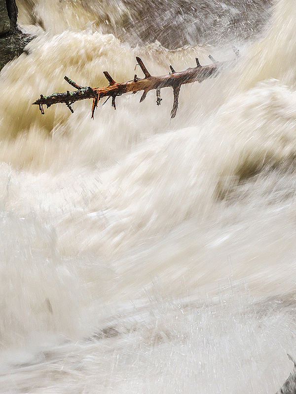
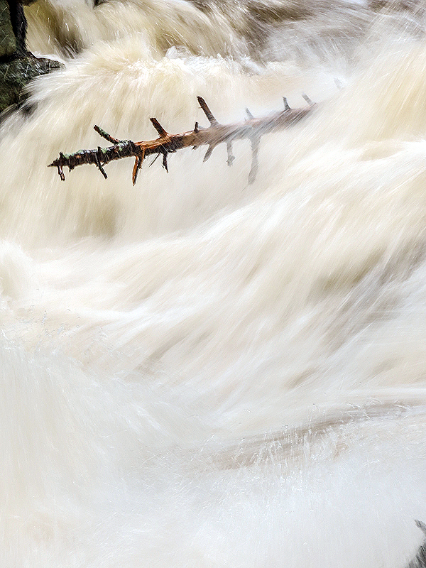
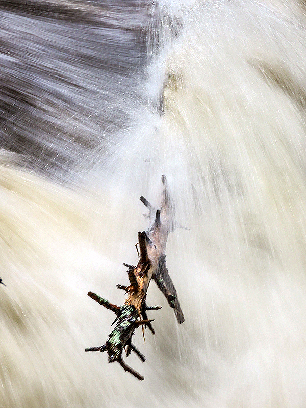
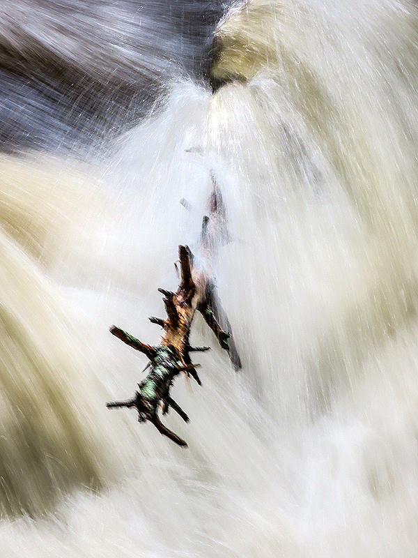
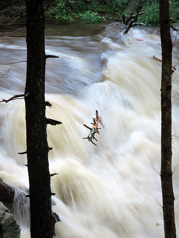
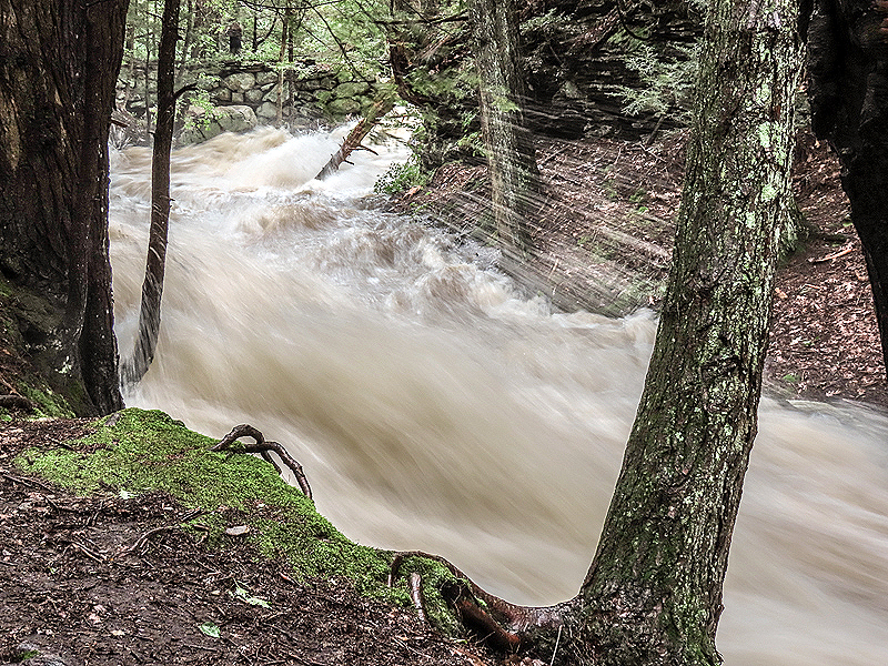
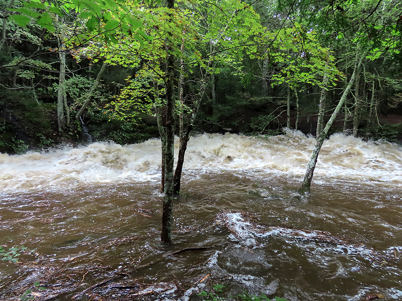
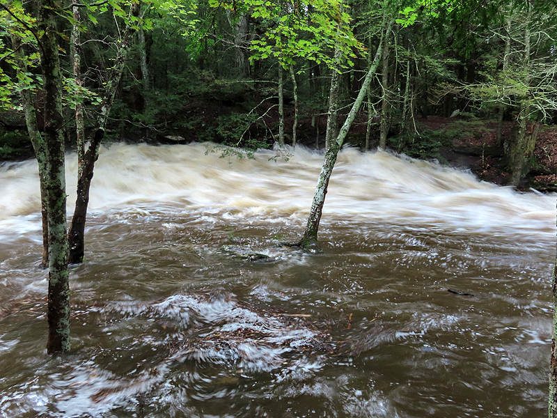
September 2nd. Grayville Falls roaring after 5 to 7 inches of rain last night, remnants of Hurricane Ida. |
|
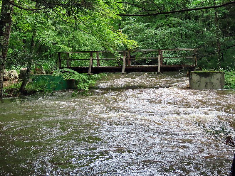
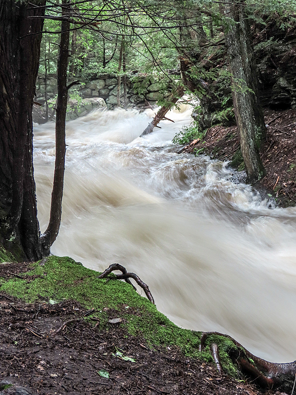
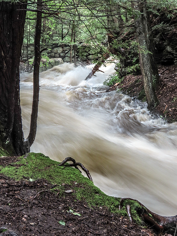
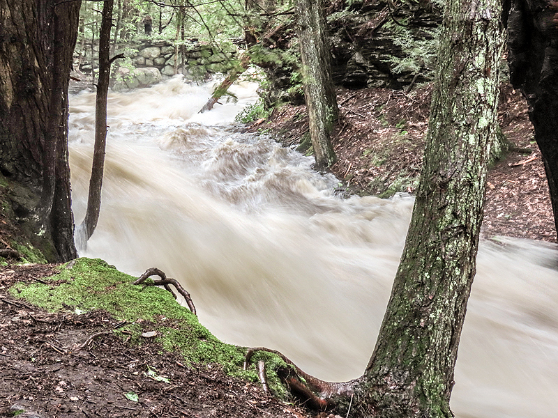
Very high water under the bridge from the trail to the town park. |
Long exposures highlight the motion, but nothing can convey the roar of the water. |
|
|
|
|
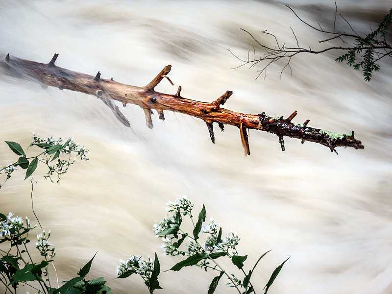
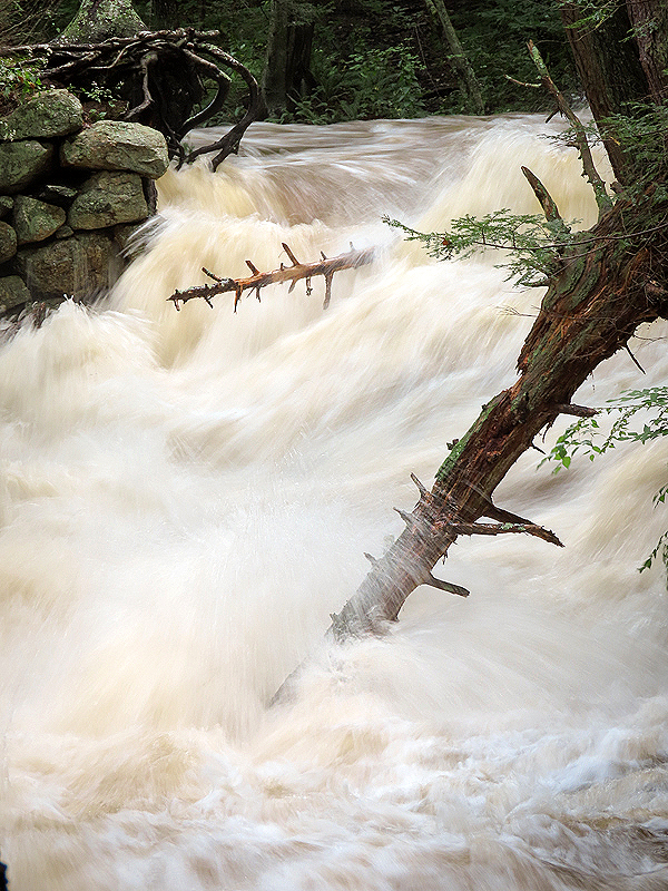
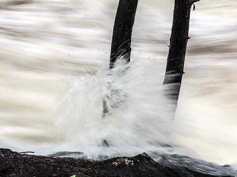
A tree trunk floated by and was briefly stuck in the falls before tumbling downstream. |
|
|
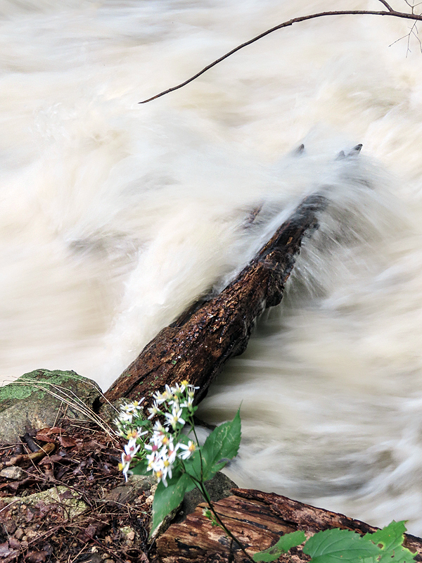
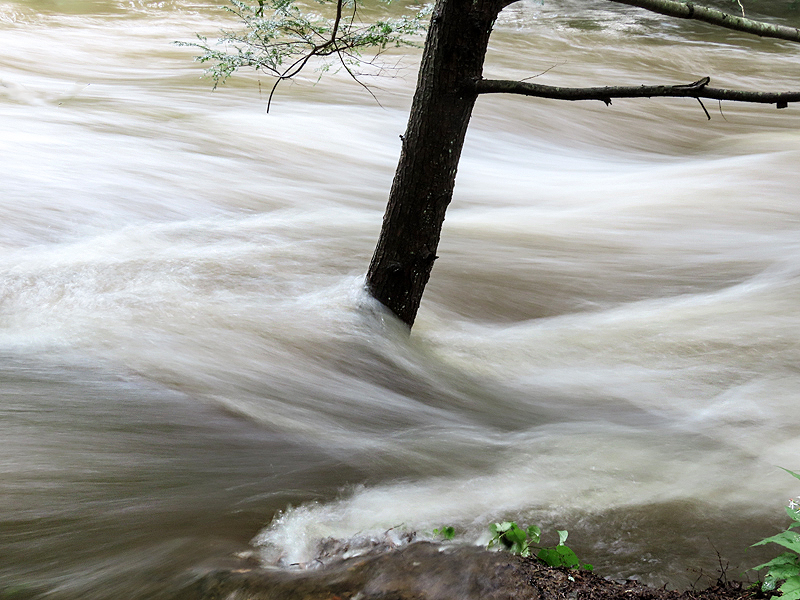
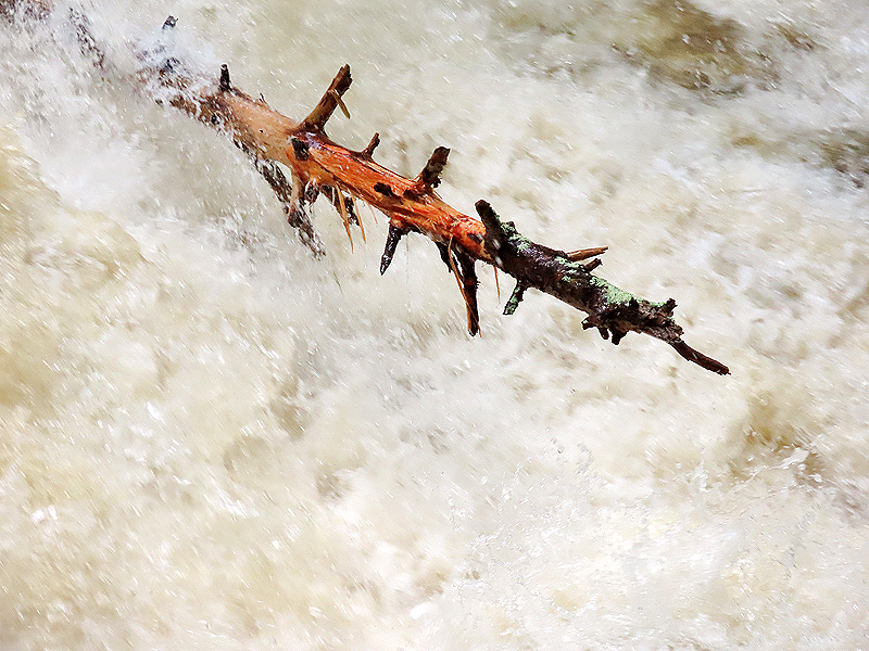
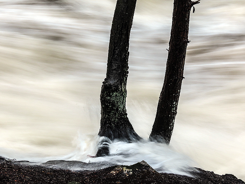
This tree remained stuck in the falls. |
|
|
|
|
|
|
|
|
|
|
|
|
|
|
|
|
|
|
|
|
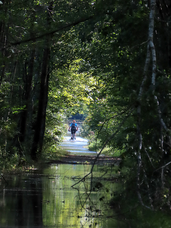
Looking east from Old Colchester Road, the trail surface was flooded. The cyclist was in water about 4" deep. |
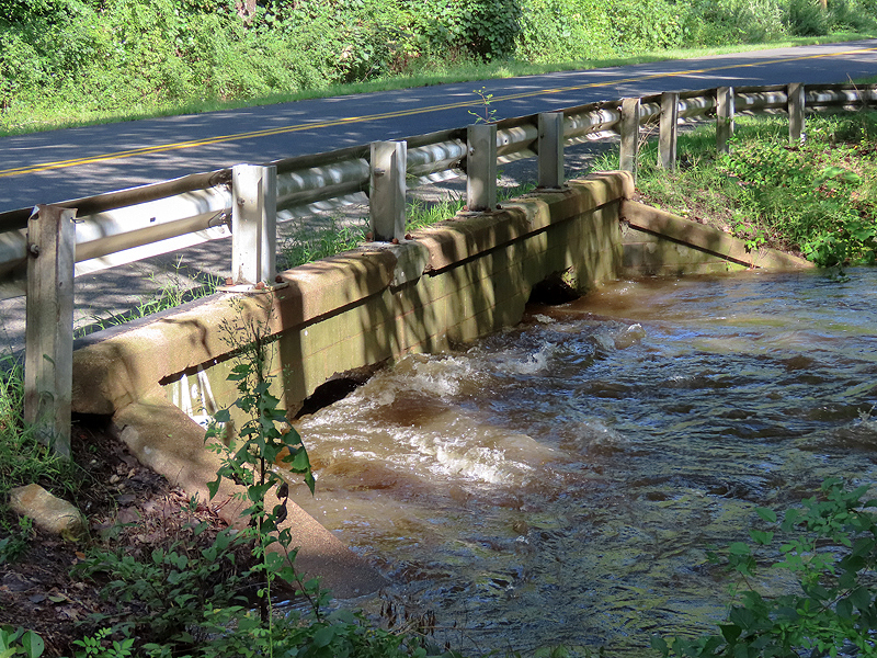
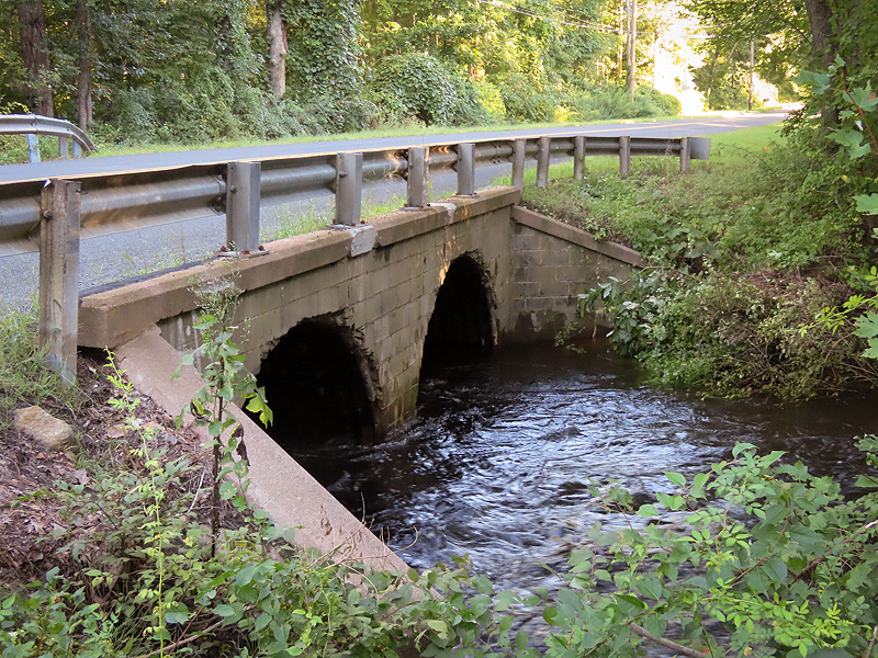
The culverts under Old Colchester Road were nearly filled by Raymond Brook. |
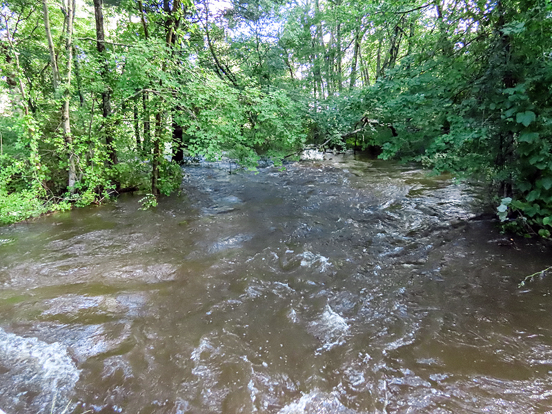
Raymond Brook was way above its banks. |
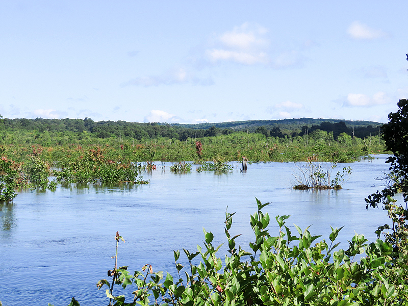
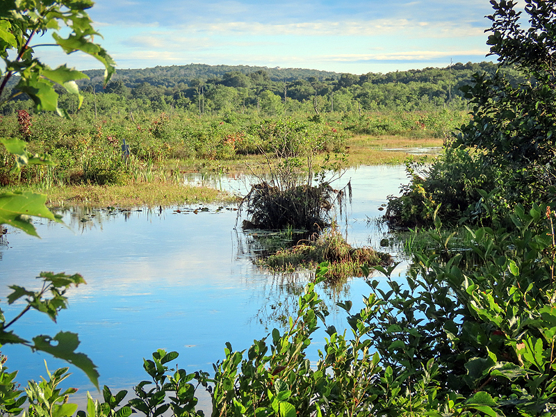
The marsh was several feet above normal level. |
|
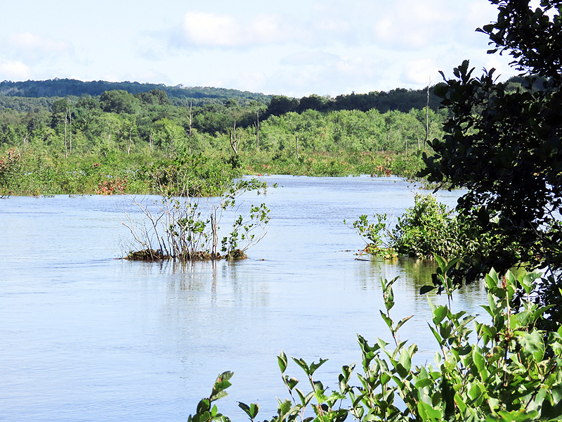
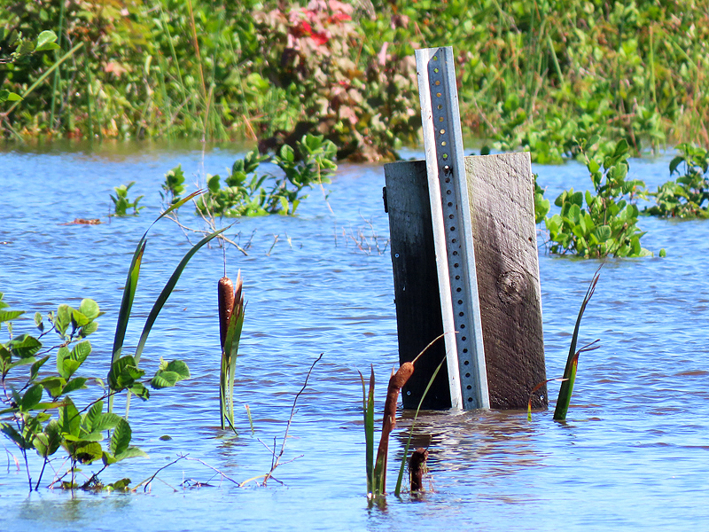
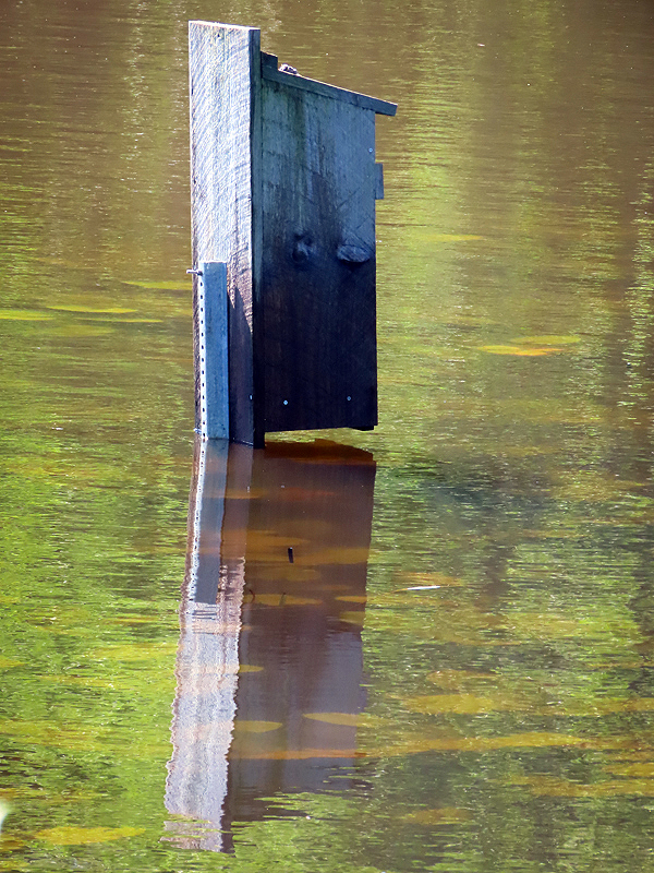
Wood Duck nest boxes and cattails give a good measure of the flooding. |
|
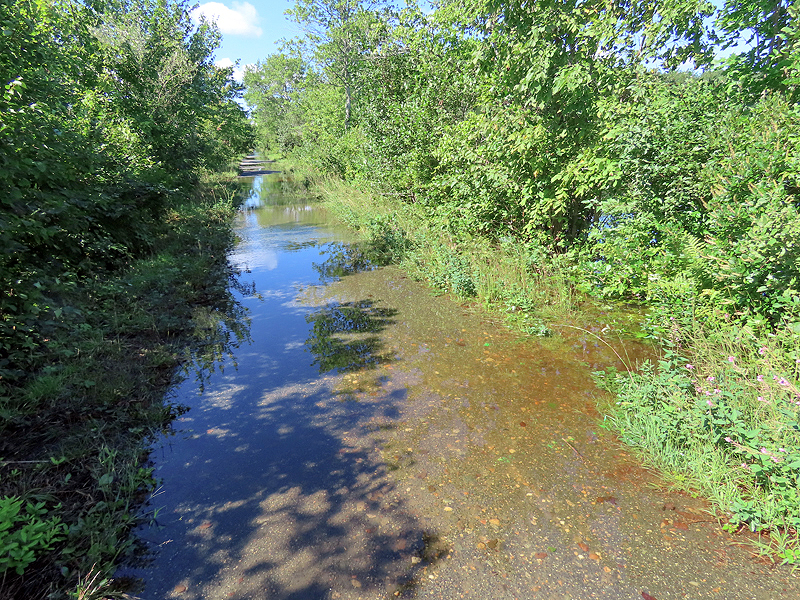
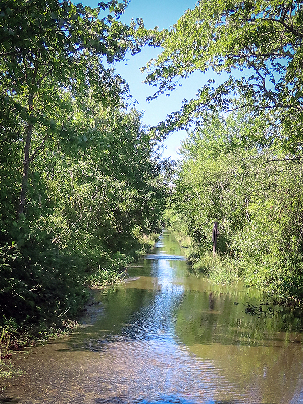
I've never seen these sections of trail flooded, including the vegetation on both sides. |
|
|
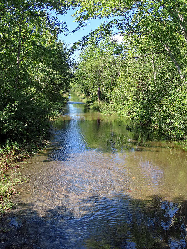
Note that the water level in the marsh wasn't that high; the rain was channeled by the higher earth on both sides of the trail surface. |
Here the water carved an escape channel. |
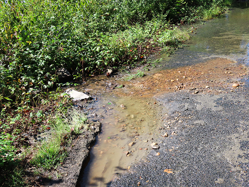
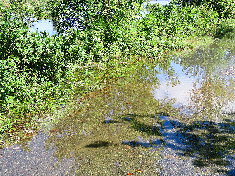
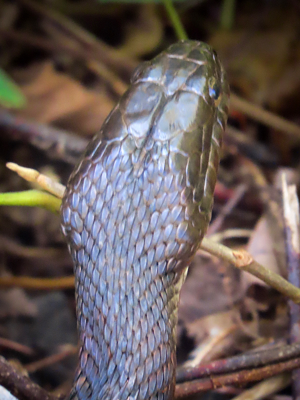
Water over the raised edges was shallower than the trail, but that's where the Northern Water Snakes (Nerodia sipedon) come to escape their flooded burrows in the banks. Stick to the middle or watch your step. |
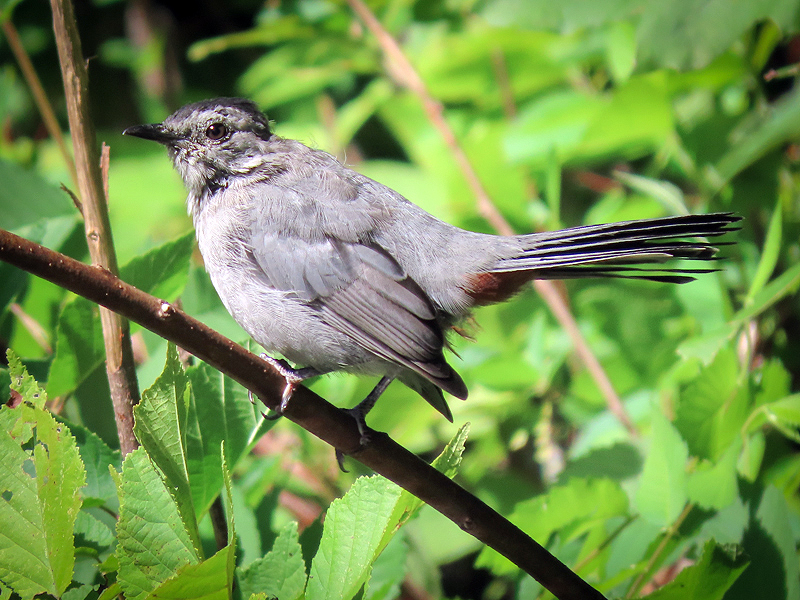
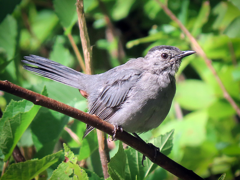
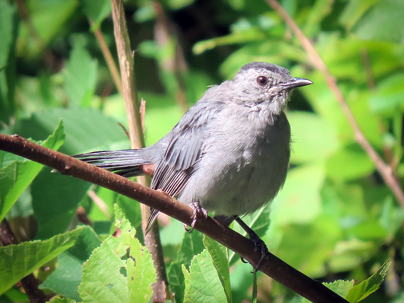
Gray Catbird (Dumetella carolinensis). |
|
|
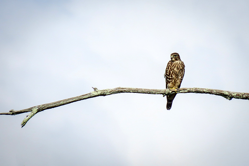
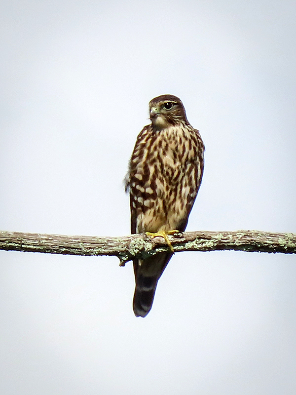
Looks like a female Cooper's Hawk (Accipter cooperii) to me. Nope, it's a Merlin (Falco columbarius). Thanks Russ Smiley for the correction. |
|
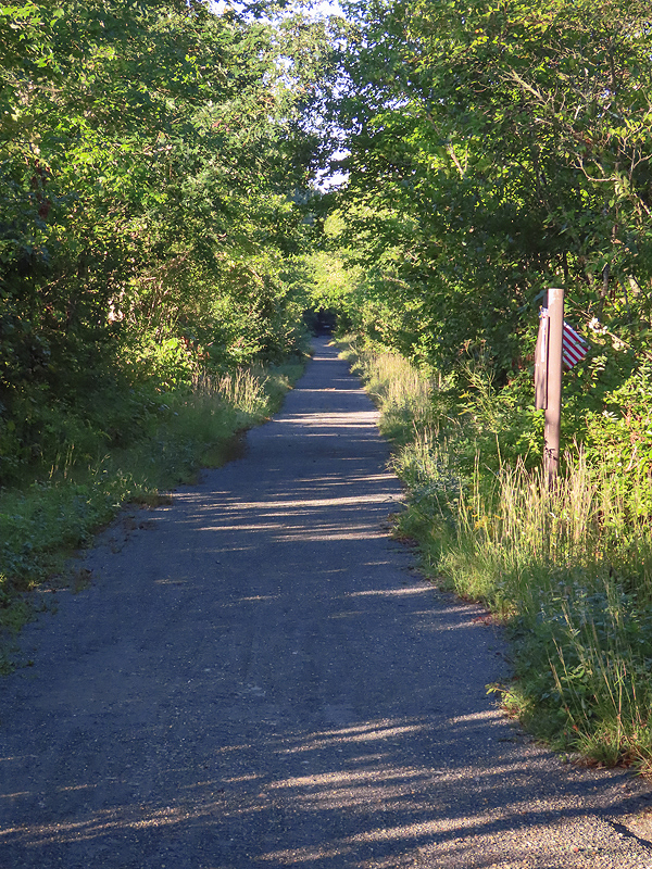
September 3rd. The trail through the marsh is almost all dry. A few washouts. |
Raymond Brook at Old Colchester Road is down to a near normal level through the culverts. |
Further east, the water is still somerwhat high... |
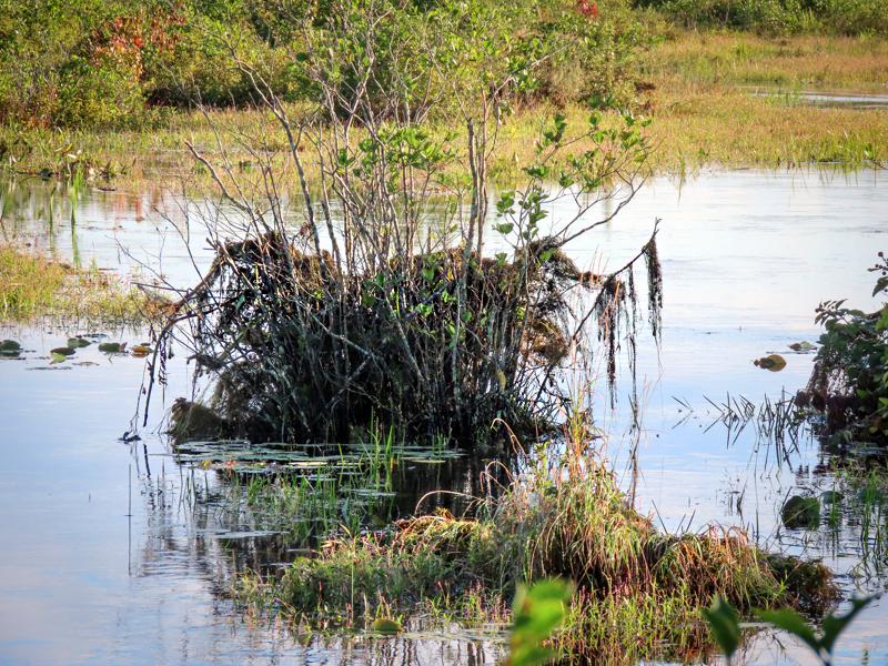
...but the debris in these shrubs hints at how high it was. (These shrubs took root from the beavers' winter food cache a few years ago.) |
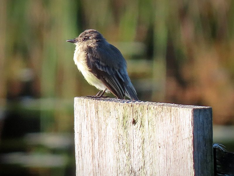
The Eastern Phoebe (Sayornis phoebe) is back on its wood duck house perch, "hawking" for insects. |