Along the Air Line... 2015-2016 - Winter, Part 1 The Air Line Trail in Eastern Connecticut - Stan Malcolm Photos |
mHome Page Stan's FlickR Albums |
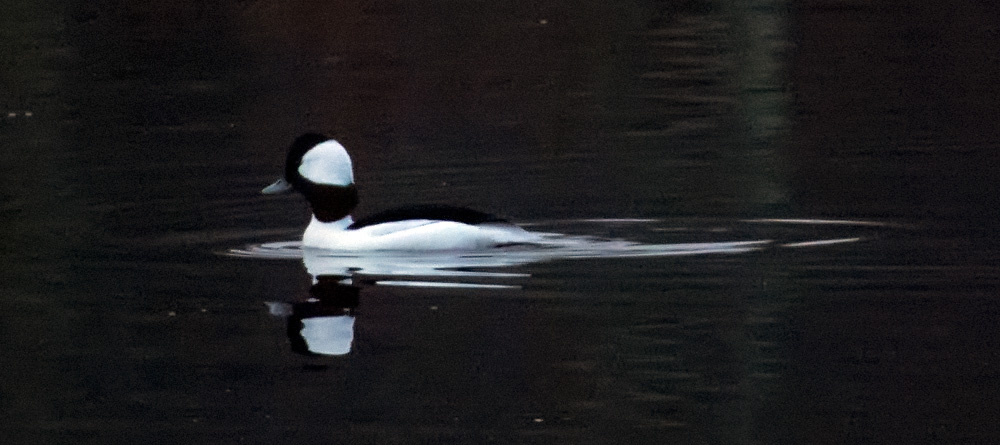
December 23rd. A Bufflehead (Bucephala albeola). A first for me on Raymond Brook Marsh! Remarkable after over 14 years walking the trail most days. |
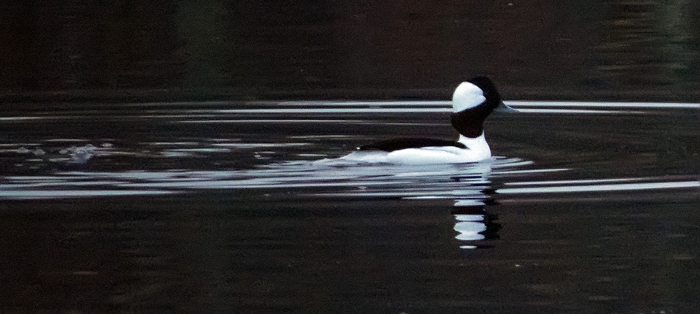
His presence today likely due to the unusually warm weather we've had this fall. Normally, they would only be at the coast or on ice-free rivers. |
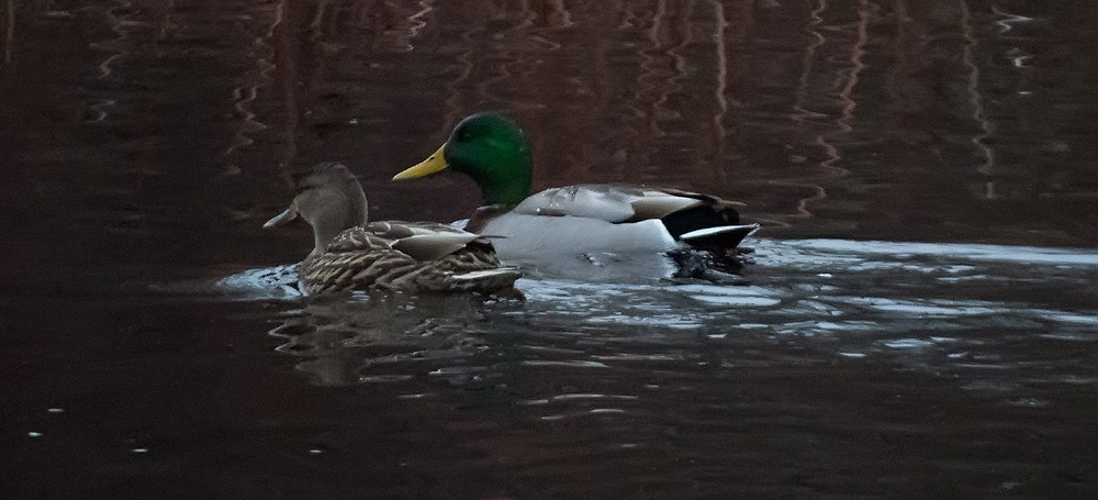
Otherwise, the only ducks around were the resident Mallards (Anas platyrhynchos). |
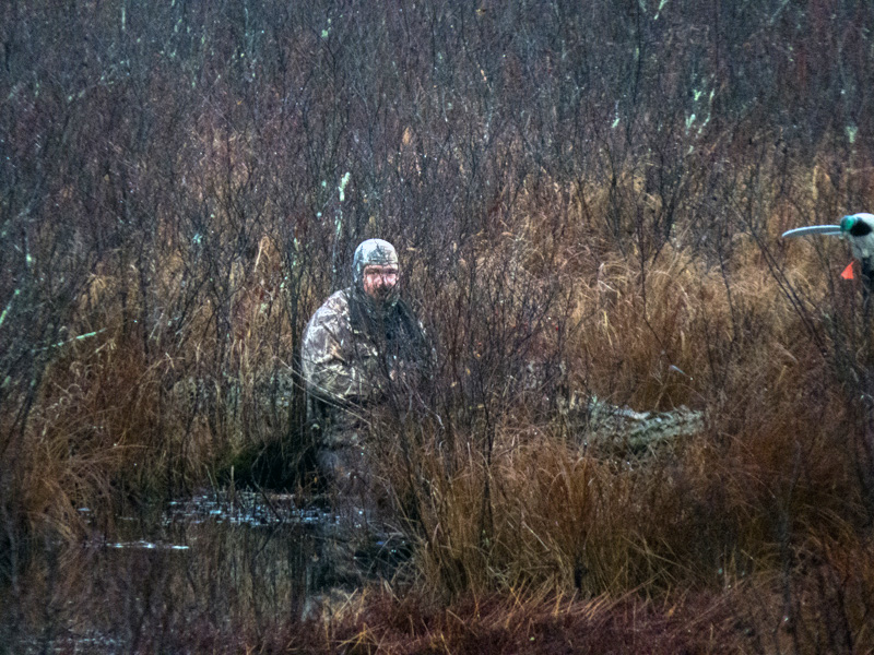
Duck hunter on the channel side (north). Duck season ends on January 9th; Canada Geese may hunted until January 23rd. (Thankfully, the Bufflehead was on the broad southern section and took off away from the hunter.) |
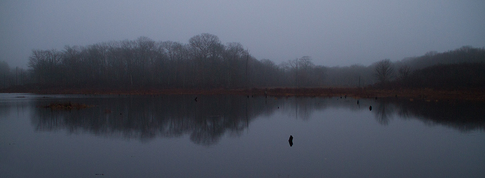
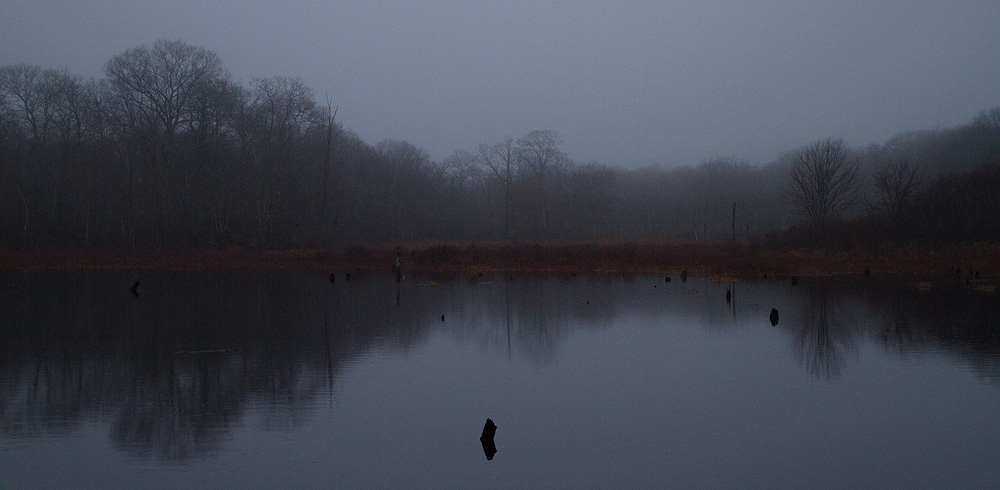
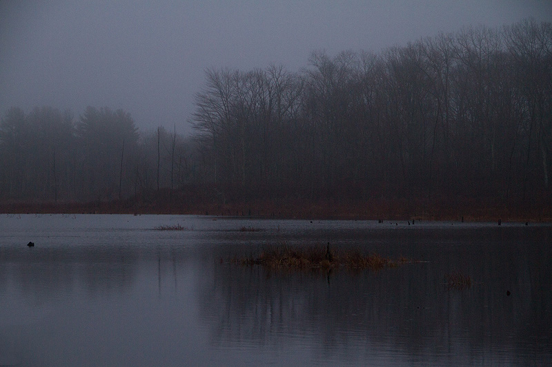
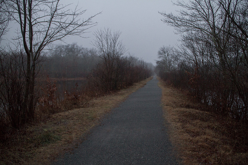
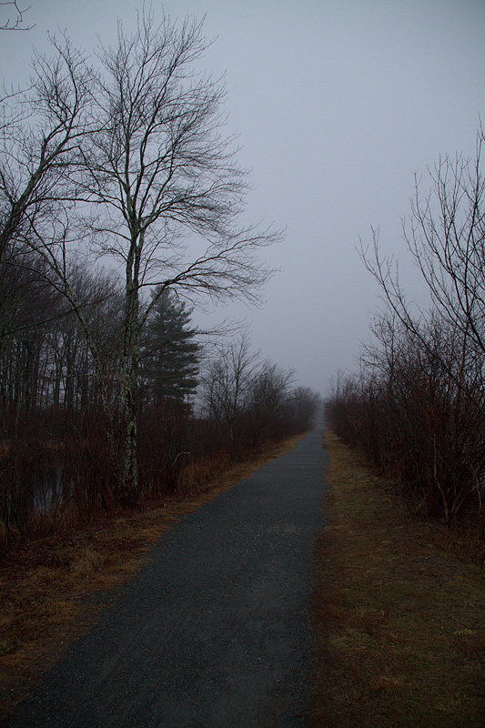
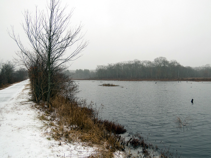
December 24th. Foggy and misty morning but 61 degrees on Christmas Eve! (67 this afternoon.) |
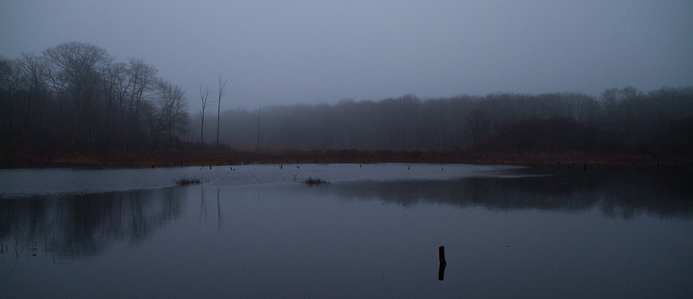
No ducks today. |
|
|
|
|
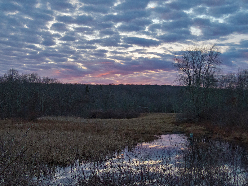
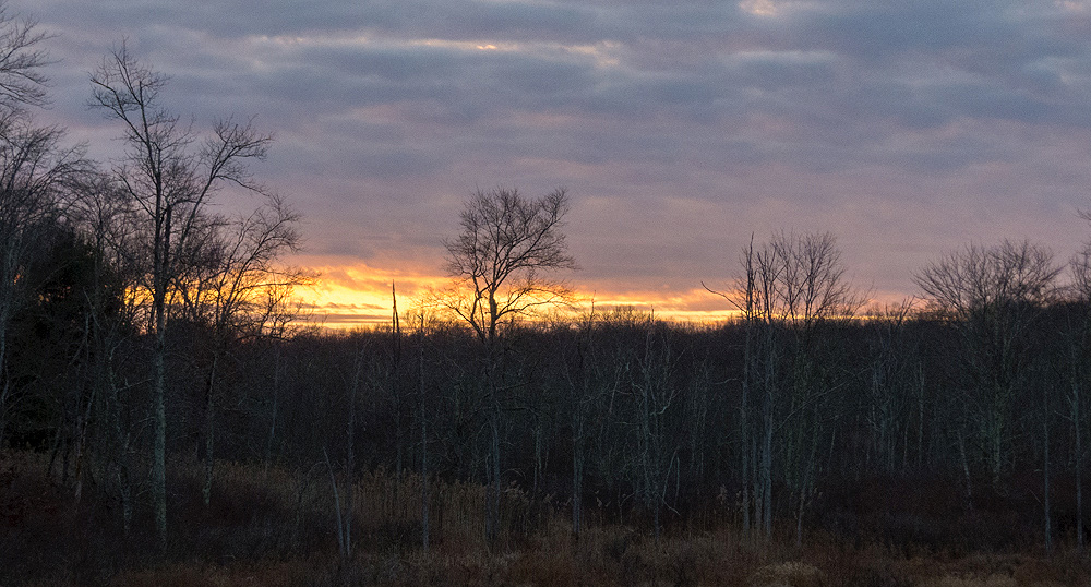
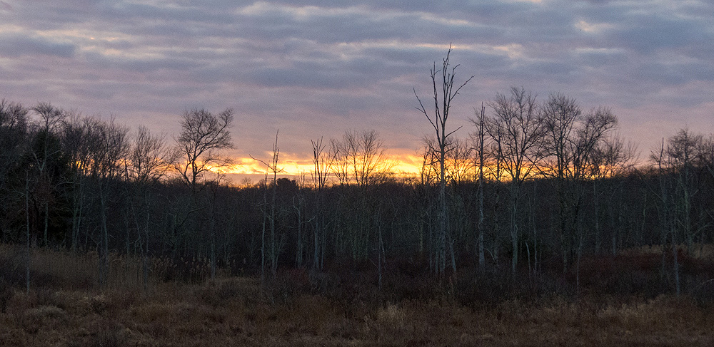
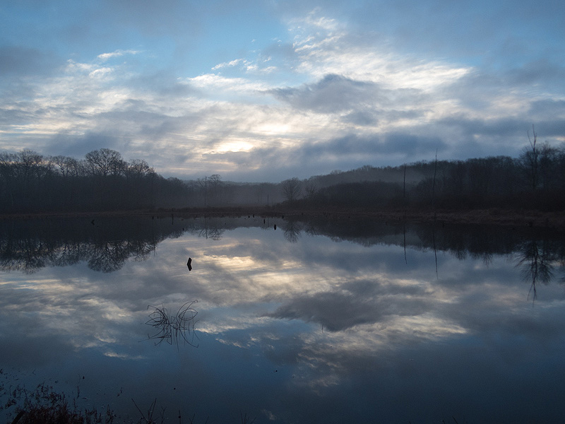
December 26th. A touch of pre-dawn color. |
|
|
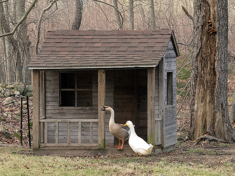
Midday at the farmyard near Cranberry Bog in East Hampton. Potential renters checking out the property? |
|
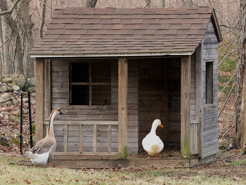
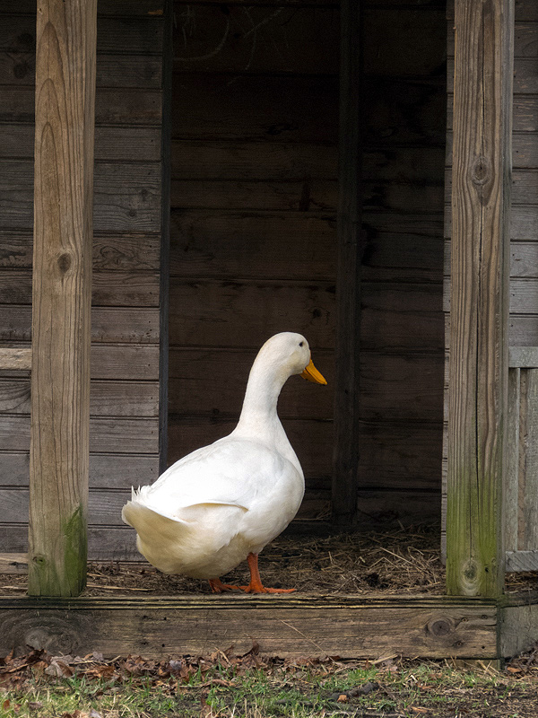
Duck seems sold. |
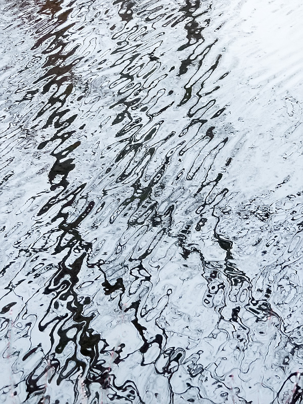
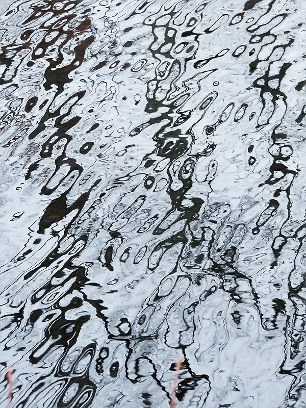
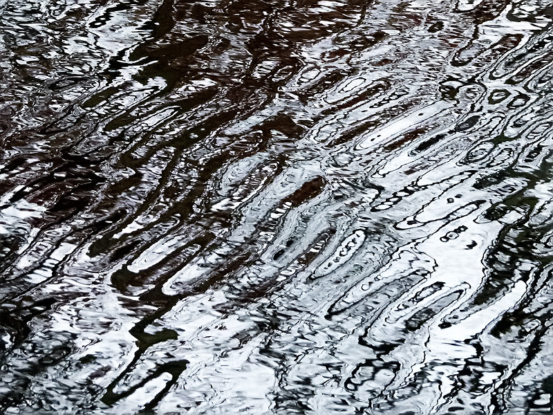
December 27th. Light breeze causing ripples on the channel side of Raymond Brook Marsh. |
|
|
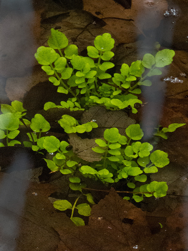
Watercress, or Bittercress? Submerged in a trailside ditch; a nice pattern of green. |
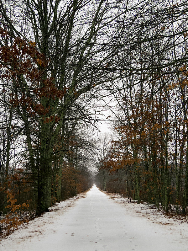
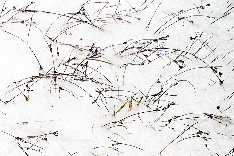
December 29th. First snow of the season, rapidly turning to slush and rain predicted for later today. |
|
|
|
|
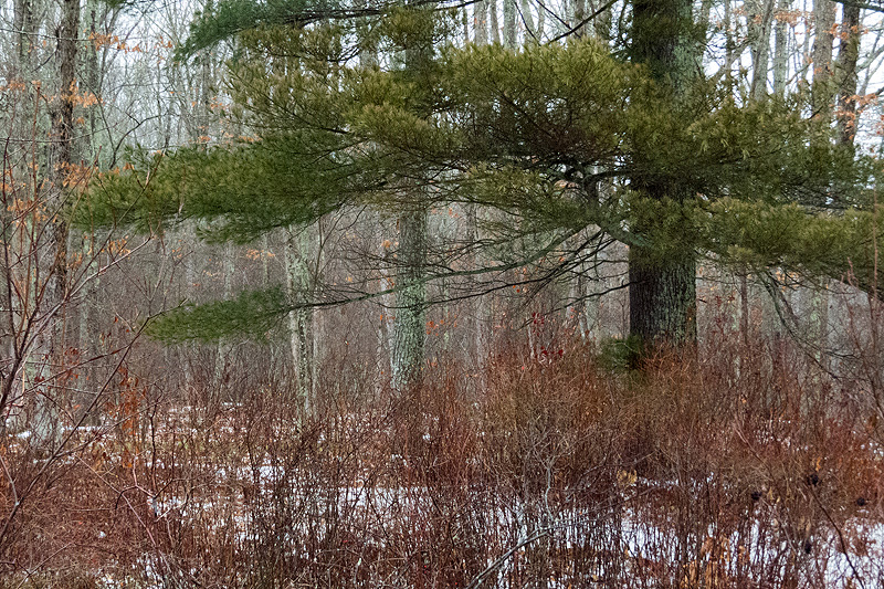
No ice on the marsh, but no waterfowl either. |
|
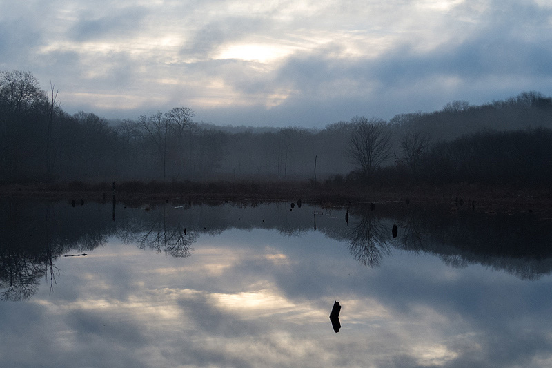
December 31st. Partial clearing just after dawn. Placid. |
|
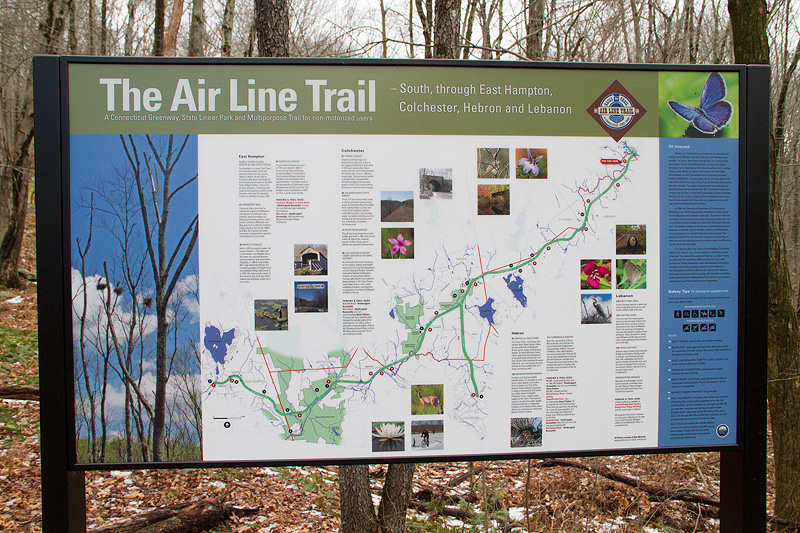
Exploring new construction on the trail, starting near Kingsley Road in Lebanon. |
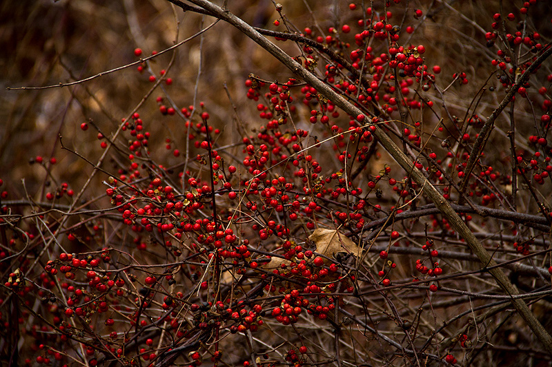
Walking east towards the Willimantic River. Multiflora Rose (Rosa multiflora) "hips". |
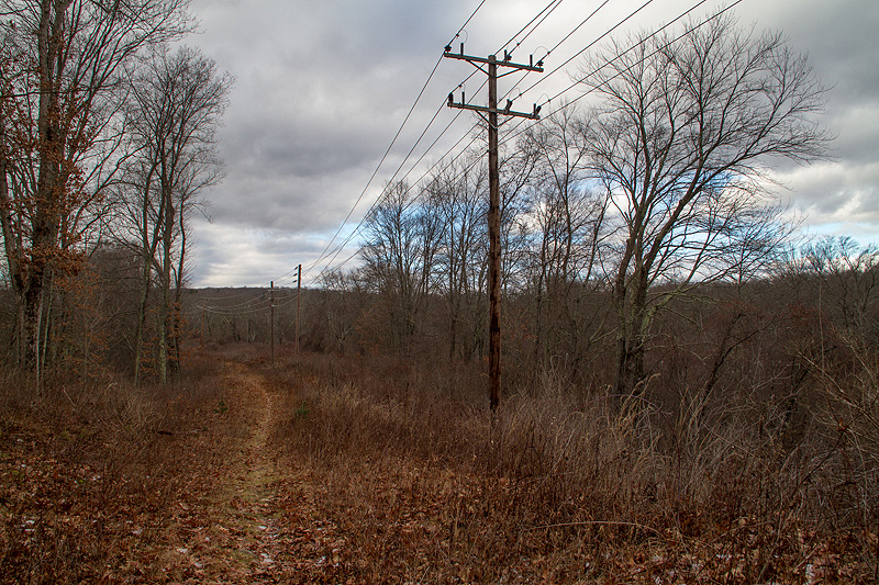
Side trail following power lines near the bridge. |
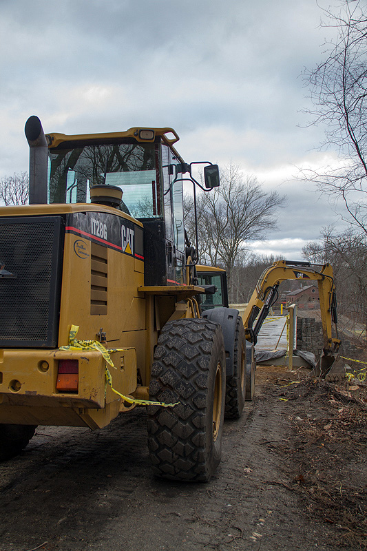
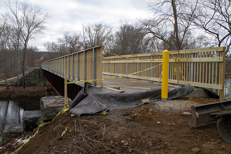
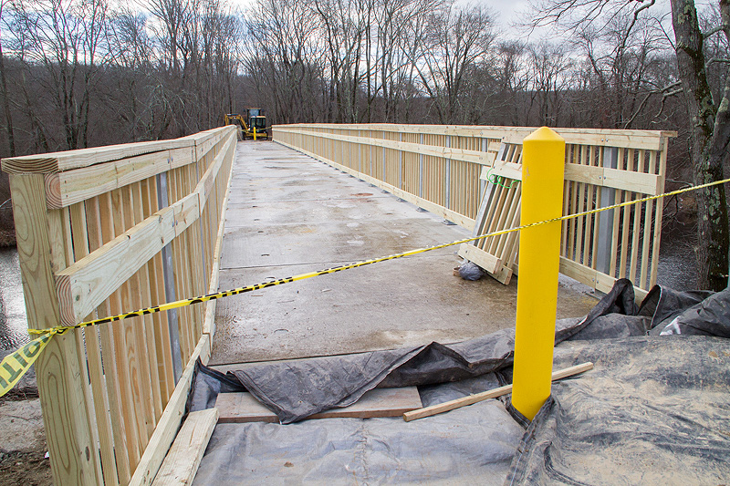
The bridge has been decked! Still some finishing work to do before opening ceremonies in the spring. |
|
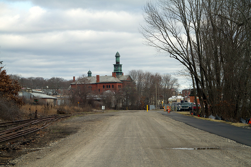
Downtown Willimantic where the Air Line Trail extends to Bridge Street. (The paved section at the right.) |
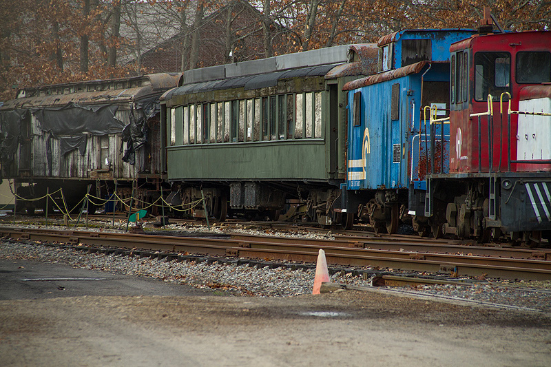
Heading in the other direction towards the Willimantic River Bridge and Lebanon, you first pass the Connecticut Eastern Railroad Museum. |
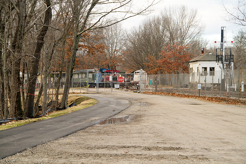
Closed for the winter, I took a couple of photos through the chain link fence. |
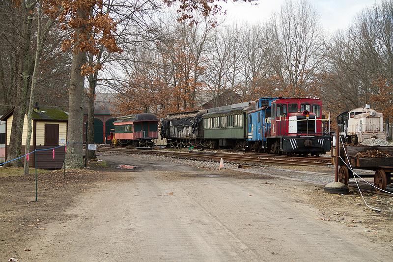
Periodically, the Museum offers night "Photo Shoots" where volunteers dress in period wear and pose beside restored equipment lit by high powered flash equipment. Check them out at http://www.cteastrrmuseum.org/ and follow the Special Events link to see night photo shoot samples. |
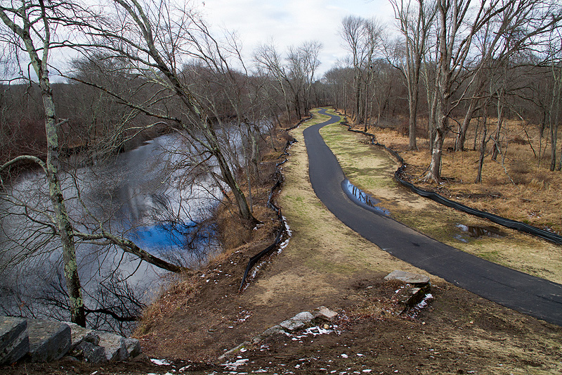
Further on, you approach the bridge from the Willimantic side. |
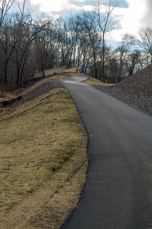
The paved path to the right is the link to the Hop River Trail that extends through Bolton to Manchester and Vernon. |
That's the newly completed Hop River Trail section seen from the bridge. |
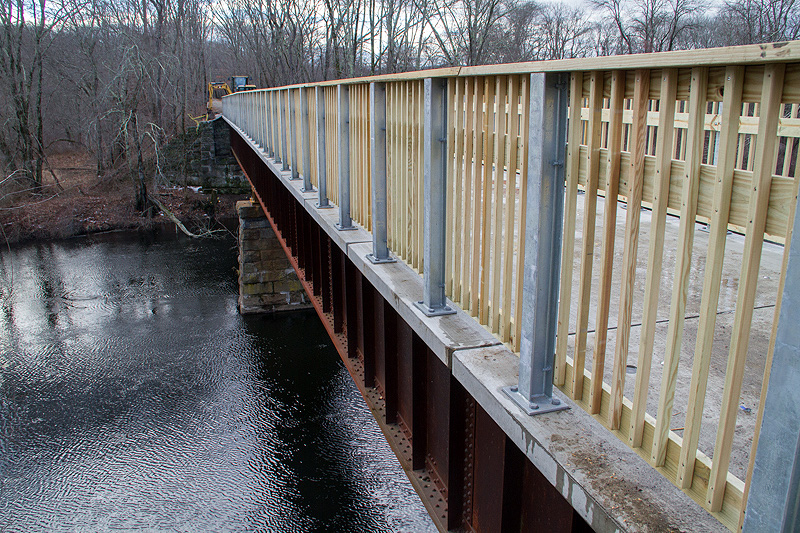
And here's the bridge from the Willimantic side. |
|
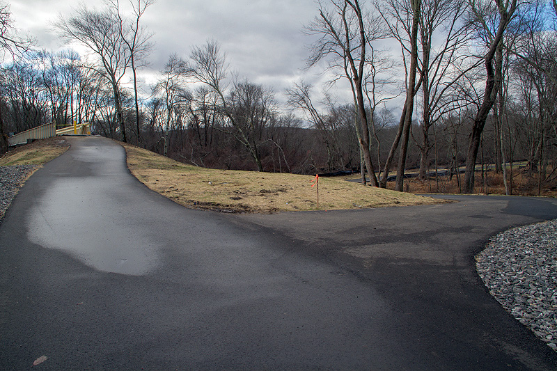
Turning back towards Willimantic, the Hop River Trail leads off to the left while the Air Line Trail courses right to downtown Willi. |
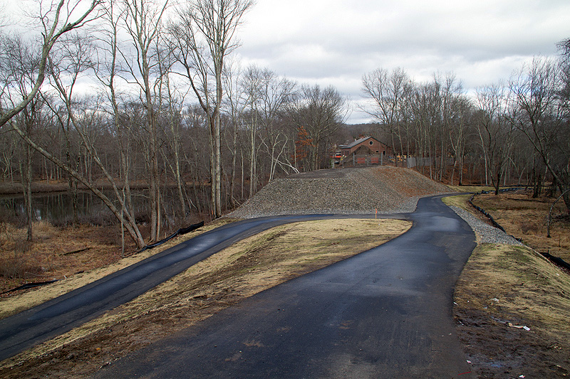
The Hop River Section just completed is still closed. This is a future access point adjacent to Mackey's on Roue 66. |
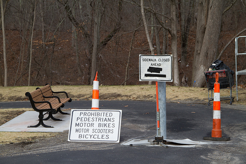
For now, I think the Hop River Trail has some gaps. There is a parking area and kayak launch area just a bit west of Mackey's, on the other side of the river. But the trail west is undeveloped here and the area has been a camping area for the homeless. |
|
You can see a bridge over the Willimantic River there, but I didn't try to access it; looks like it needs work. |
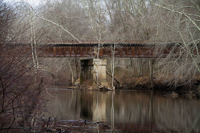
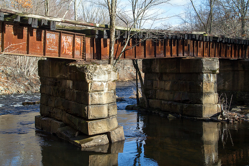
After another break along Flanders River and Kings Roads, I came to this derelict bridge over the Hop River. |
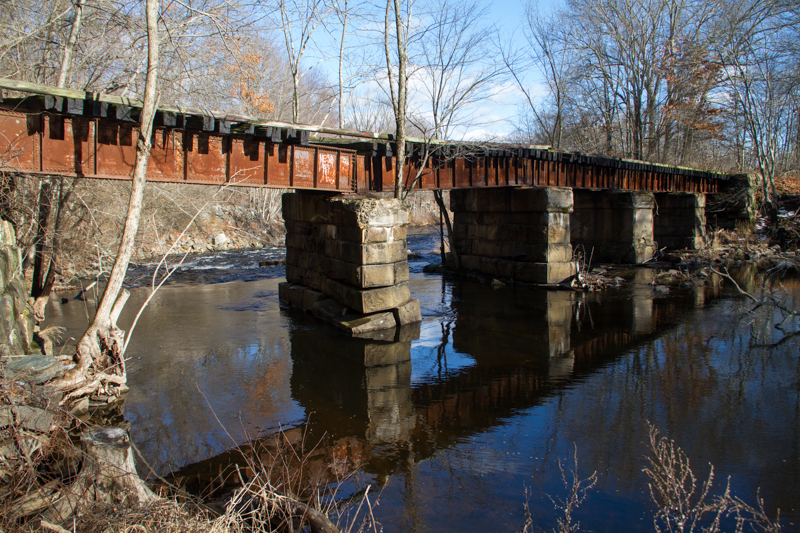
Easy to see why it was bypassed. |
|
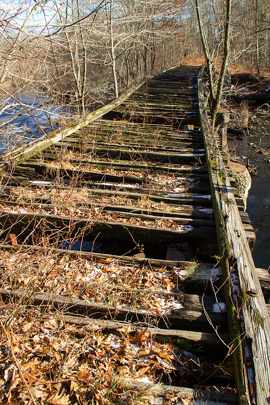
West of that bridge, a fisherman's trail parallels the Hop River Trail which would be up the bank at the right. |
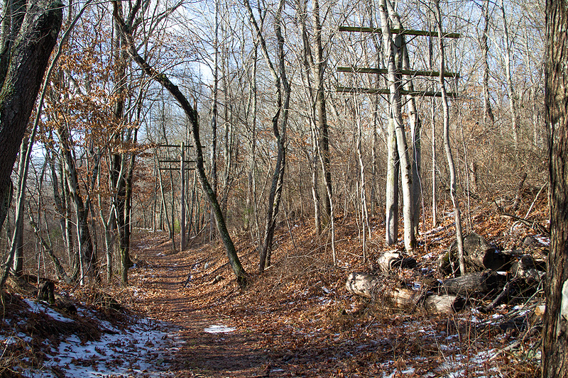
West of Kings Road, the restored Hop River Trail picks up again. |